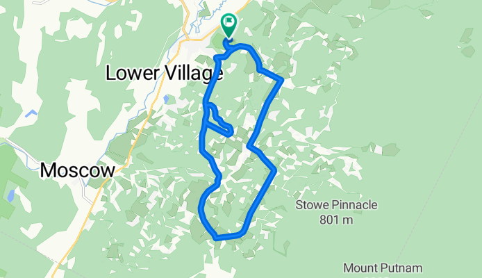


Stowe Gravel Send
- 70.6 km
- 1,000 m
- 1,005 m
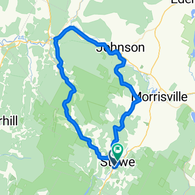
- Morristown, Vermont, United States
A cycling route starting in Morristown, Vermont, United States.
Overview
Start and end at the Sunset rock. Cruise through the hollow including Gilcrist road, Emily's bridge, past the Pinnacle, across Cross Road and then back to Sunset Rock
created this 5 years ago
Route quality
Quiet road
11.8 km
(95 %)
Access road
0.6 km
(5 %)
Paved
4.6 km
(37 %)
Unpaved
7.7 km
(62 %)
Gravel
7.1 km
(57 %)
Asphalt
4.6 km
(37 %)
Continue with Bikemap
You would like to ride Sunset Rock + Hollow Rip or customize it for your own trip? Here is what you can do with this Bikemap route:
Free trial for 3 days, or one-time payment. More about Bikemap Premium.
Discover more Premium features.
Get Bikemap PremiumFrom our community
Open it in the app