

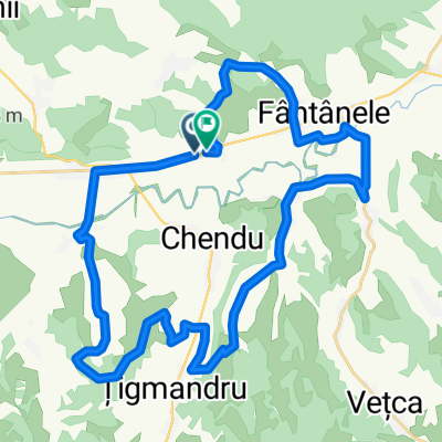
Easy ride in
A cycling route starting in Fântânele, Mureș County, Romania.
Overview
About this route
- 37 min
- Duration
- 5.6 km
- Distance
- 61 m
- Ascent
- 64 m
- Descent
- 9 km/h
- Avg. speed
- ---
- Max. altitude
Continue with Bikemap
Use, edit, or download this cycling route
You would like to ride Easy ride in or customize it for your own trip? Here is what you can do with this Bikemap route:
Free features
- Save this route as favorite or in collections
- Copy & plan your own version of this route
- Sync your route with Garmin or Wahoo
Premium features
Free trial for 3 days, or one-time payment. More about Bikemap Premium.
- Navigate this route on iOS & Android
- Export a GPX / KML file of this route
- Create your custom printout (try it for free)
- Download this route for offline navigation
Discover more Premium features.
Get Bikemap PremiumFrom our community
Other popular routes starting in Fântânele
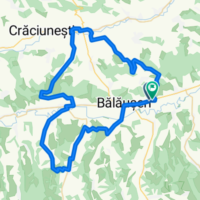
 Sâmbătă, 6 mai 2017, la Saschiz, judeţul Mureş
- Distance
- 74.3 km
- Ascent
- 577 m
- Descent
- 569 m
- Location
- Fântânele, Mureș County, Romania
 DN13A 247a - DN13A 247a
- Distance
- 59.9 km
- Ascent
- 895 m
- Descent
- 893 m
- Location
- Fântânele, Mureș County, Romania
 de aiurea
- Distance
- 140.4 km
- Ascent
- 703 m
- Descent
- 703 m
- Location
- Fântânele, Mureș County, Romania
 DN13A - DN13A
- Distance
- 35.9 km
- Ascent
- 568 m
- Descent
- 566 m
- Location
- Fântânele, Mureș County, Romania
 46.413° N 24.798° W to Strada Nicolae Bălcescu 58, Sângeorgiu de Padure
- Distance
- 4 km
- Ascent
- 3 m
- Descent
- 3 m
- Location
- Fântânele, Mureș County, Romania
 DN13A 59, Fântânele - DJ138 11, Târnovița
- Distance
- 77.4 km
- Ascent
- 677 m
- Descent
- 499 m
- Location
- Fântânele, Mureș County, Romania
 Vécke-Magyarzsákod
- Distance
- 29.1 km
- Ascent
- 118 m
- Descent
- 117 m
- Location
- Fântânele, Mureș County, Romania
 Easy ride in
- Distance
- 5.6 km
- Ascent
- 61 m
- Descent
- 64 m
- Location
- Fântânele, Mureș County, Romania
Open it in the app