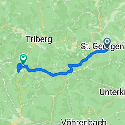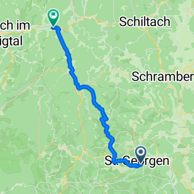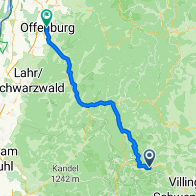
Von Sankt Georgen im Schwarzwald bis Offenburg
- 66.4 km
- 523 m
- 1,176 m
- Sankt Georgen im Schwarzwald, Baden-Wurttemberg, Germany
A cycling route starting in Sankt Georgen im Schwarzwald, Baden-Wurttemberg, Germany.
Overview
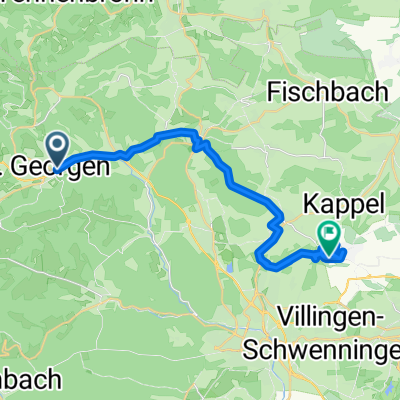
Unfortunately, the bike paths in the Kirnbachtal and between Villingen, Mönchweiler, and Königsfeld are missing from the map.
created this 17 years ago
Route quality
Road
15 km
(32 %)
Track
7 km
(15 %)
Paved
33.7 km
(72 %)
Unpaved
3.3 km
(7 %)
Asphalt
33.7 km
(72 %)
Gravel
1.4 km
(3 %)
Continue with Bikemap
You would like to ride Kesselberg - Villingen - Königsfeld or customize it for your own trip? Here is what you can do with this Bikemap route:
Free trial for 3 days, or one-time payment. More about Bikemap Premium.
Discover more Premium features.
Get Bikemap PremiumFrom our community
Open it in the app