

Grünes Herz Tour 2020
A cycling route starting in Selzthal, Styria, Austria.
Overview
About this route
#1: Selzthal - Wildalpen (https://www.bikemap.net/de/r/5885353/)
#2: Wildalpen - Lunz am See (https://www.bikemap.net/de/r/5885412/)
#3: Lunz am See - Reichraming (https://www.bikemap.net/de/r/5885452/)
#4: Reichraming - Steyr (https://www.bikemap.net/de/r/5885587)
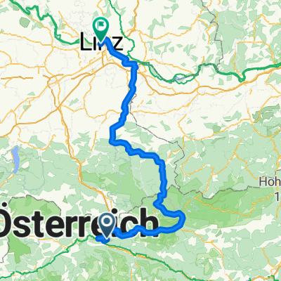
#5: Steyr - Linz (https://www.bikemap.net/de/r/5907975)
- -:--
- Duration
- 342 km
- Distance
- 8,289 m
- Ascent
- 8,657 m
- Descent
- ---
- Avg. speed
- ---
- Max. altitude

Route quality
Waytypes & surfaces along the route
Waytypes
Quiet road
75.2 km
(22 %)
Road
65 km
(19 %)
Surfaces
Paved
208.6 km
(61 %)
Unpaved
30.8 km
(9 %)
Asphalt
205.2 km
(60 %)
Gravel
30.8 km
(9 %)
Route highlights
Points of interest along the route
Accommodation after 73.7 km
Wildalpen
Accommodation after 144.3 km
Lunz am See
Accommodation after 220.3 km
Reichraming
Accommodation after 285.6 km
Steyr
Continue with Bikemap
Use, edit, or download this cycling route
You would like to ride Grünes Herz Tour 2020 or customize it for your own trip? Here is what you can do with this Bikemap route:
Free features
- Save this route as favorite or in collections
- Copy & plan your own version of this route
- Split it into stages to create a multi-day tour
- Sync your route with Garmin or Wahoo
Premium features
Free trial for 3 days, or one-time payment. More about Bikemap Premium.
- Navigate this route on iOS & Android
- Export a GPX / KML file of this route
- Create your custom printout (try it for free)
- Download this route for offline navigation
Discover more Premium features.
Get Bikemap PremiumFrom our community
Other popular routes starting in Selzthal
 Salbergrunde
- Distance
- 21.4 km
- Ascent
- 728 m
- Descent
- 727 m
- Location
- Selzthal, Styria, Austria
 Ennstalradweg Selzthal Linz
- Distance
- 194.7 km
- Ascent
- 4,567 m
- Descent
- 4,951 m
- Location
- Selzthal, Styria, Austria
 Grünes Herz 2020 #1: Selzthal - Wildalpen
- Distance
- 76.8 km
- Ascent
- 394 m
- Descent
- 416 m
- Location
- Selzthal, Styria, Austria
 2020_Selztal-Spechtensee-Bad Mitterndorf
- Distance
- 58.8 km
- Ascent
- 898 m
- Descent
- 728 m
- Location
- Selzthal, Styria, Austria
 St. Michael
- Distance
- 197.2 km
- Ascent
- 1,551 m
- Descent
- 1,547 m
- Location
- Selzthal, Styria, Austria
 2011 Selzthal-Hieflau,durchs Gesäuse
- Distance
- 56.7 km
- Ascent
- 678 m
- Descent
- 820 m
- Location
- Selzthal, Styria, Austria
 selzthal-zagreb
- Distance
- 349.7 km
- Ascent
- 510 m
- Descent
- 1,009 m
- Location
- Selzthal, Styria, Austria
 Grünes Herz 2021
- Distance
- 374.4 km
- Ascent
- 8,139 m
- Descent
- 8,455 m
- Location
- Selzthal, Styria, Austria
Open it in the app