Bernlachstraße, Mössingen nach Bernlachstraße, Mössingen
- 14.3 km
- 216 m
- 213 m
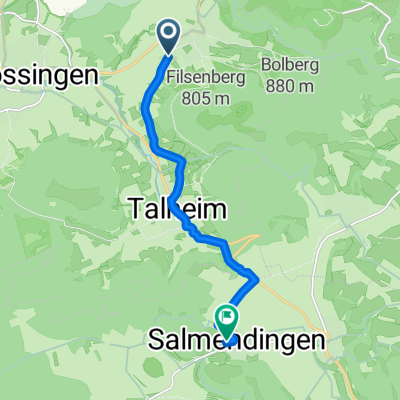
- Nehren, Baden-Wurttemberg, Germany
A cycling route starting in Nehren, Baden-Wurttemberg, Germany.
Overview
Was feeling sick, unfocused, but intuition told me it will pass.
Route quality
Track
7.9 km
(47 %)
Quiet road
4.7 km
(28 %)
Paved
16.6 km
(99 %)
Asphalt
15.1 km
(90 %)
Paved (undefined)
1.5 km
(9 %)
Undefined
0.2 km
(1 %)
Continue with Bikemap
You would like to ride 7th Century of 2020 Part I April 27 Nehren to Schlat or customize it for your own trip? Here is what you can do with this Bikemap route:
Free trial for 3 days, or one-time payment. More about Bikemap Premium.
Discover more Premium features.
Get Bikemap PremiumFrom our community
Open it in the app