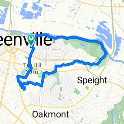
Supersonic route in Greenville
- 42.8 km
- 7 m
- 22 m
- Greenville, North Carolina, United States
A cycling route starting in Greenville, North Carolina, United States.
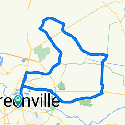
Overview
created this 5 years ago
Route quality
Road
43.8 km
(41 %)
Quiet road
42.7 km
(40 %)
Paved
50.2 km
(47 %)
Paved (undefined)
36.3 km
(34 %)
Asphalt
13.9 km
(13 %)
Undefined
56.6 km
(53 %)
Continue with Bikemap
You would like to ride 204 E 13th St, Greenville to 230 Black Rock Rd, Merry Hill or customize it for your own trip? Here is what you can do with this Bikemap route:
Free trial for 3 days, or one-time payment. More about Bikemap Premium.
Discover more Premium features.
Get Bikemap PremiumFrom our community
Open it in the app