

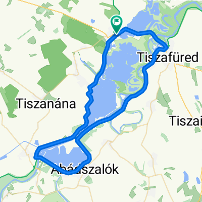
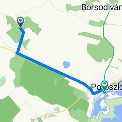
Tisza tavacska
A cycling route starting in Poroszló, Heves County, Hungary.
Overview
About this route
- 1 h 19 min
- Duration
- 18.8 km
- Distance
- 669 m
- Ascent
- 672 m
- Descent
- 14.3 km/h
- Avg. speed
- ---
- Max. altitude

Route photos


Continue with Bikemap
Use, edit, or download this cycling route
You would like to ride Tisza tavacska or customize it for your own trip? Here is what you can do with this Bikemap route:
Free features
- Save this route as favorite or in collections
- Copy & plan your own version of this route
- Sync your route with Garmin or Wahoo
Premium features
Free trial for 3 days, or one-time payment. More about Bikemap Premium.
- Navigate this route on iOS & Android
- Export a GPX / KML file of this route
- Create your custom printout (try it for free)
- Download this route for offline navigation
Discover more Premium features.
Get Bikemap PremiumFrom our community
Other popular routes starting in Poroszló
 Poroszló - Poroszló
- Distance
- 65.7 km
- Ascent
- 89 m
- Descent
- 88 m
- Location
- Poroszló, Heves County, Hungary
 Tisza tó kis kör
- Distance
- 63.6 km
- Ascent
- 57 m
- Descent
- 57 m
- Location
- Poroszló, Heves County, Hungary
 Tiszató Kupa (2 kör - 138 km)
- Distance
- 68.9 km
- Ascent
- 25 m
- Descent
- 29 m
- Location
- Poroszló, Heves County, Hungary
 Felvétel az Apple Watch-on keresztül júl. 30. 15:30
- Distance
- 86.8 km
- Ascent
- 150 m
- Descent
- 153 m
- Location
- Poroszló, Heves County, Hungary
 Tisza tó
- Distance
- 72.9 km
- Ascent
- 729 m
- Descent
- 827 m
- Location
- Poroszló, Heves County, Hungary
 Tisza-tó kör
- Distance
- 97.4 km
- Ascent
- 46 m
- Descent
- 46 m
- Location
- Poroszló, Heves County, Hungary
 Kossuth Lajos út - Kossuth Lajos út
- Distance
- 65.9 km
- Ascent
- 50 m
- Descent
- 50 m
- Location
- Poroszló, Heves County, Hungary
 Útvonal innen: Kétút köz
- Distance
- 10.9 km
- Ascent
- 116 m
- Descent
- 113 m
- Location
- Poroszló, Heves County, Hungary
Open it in the app