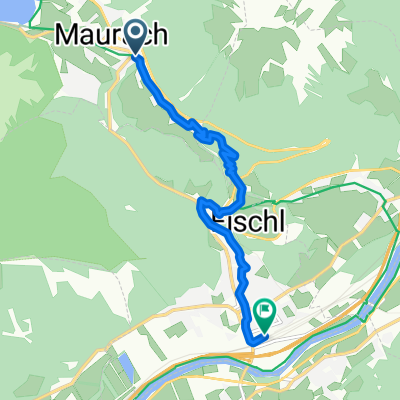
Planbergstraße, Eben am Achensee nach Lärchenwiesenstraße, Eben am Achensee
- 30.1 km
- 1,127 m
- 1,121 m
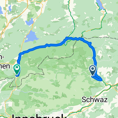
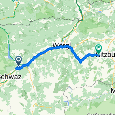
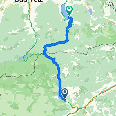
- Jenbach, Tyrol, Austria
A cycling route starting in Jenbach, Tyrol, Austria.
Overview
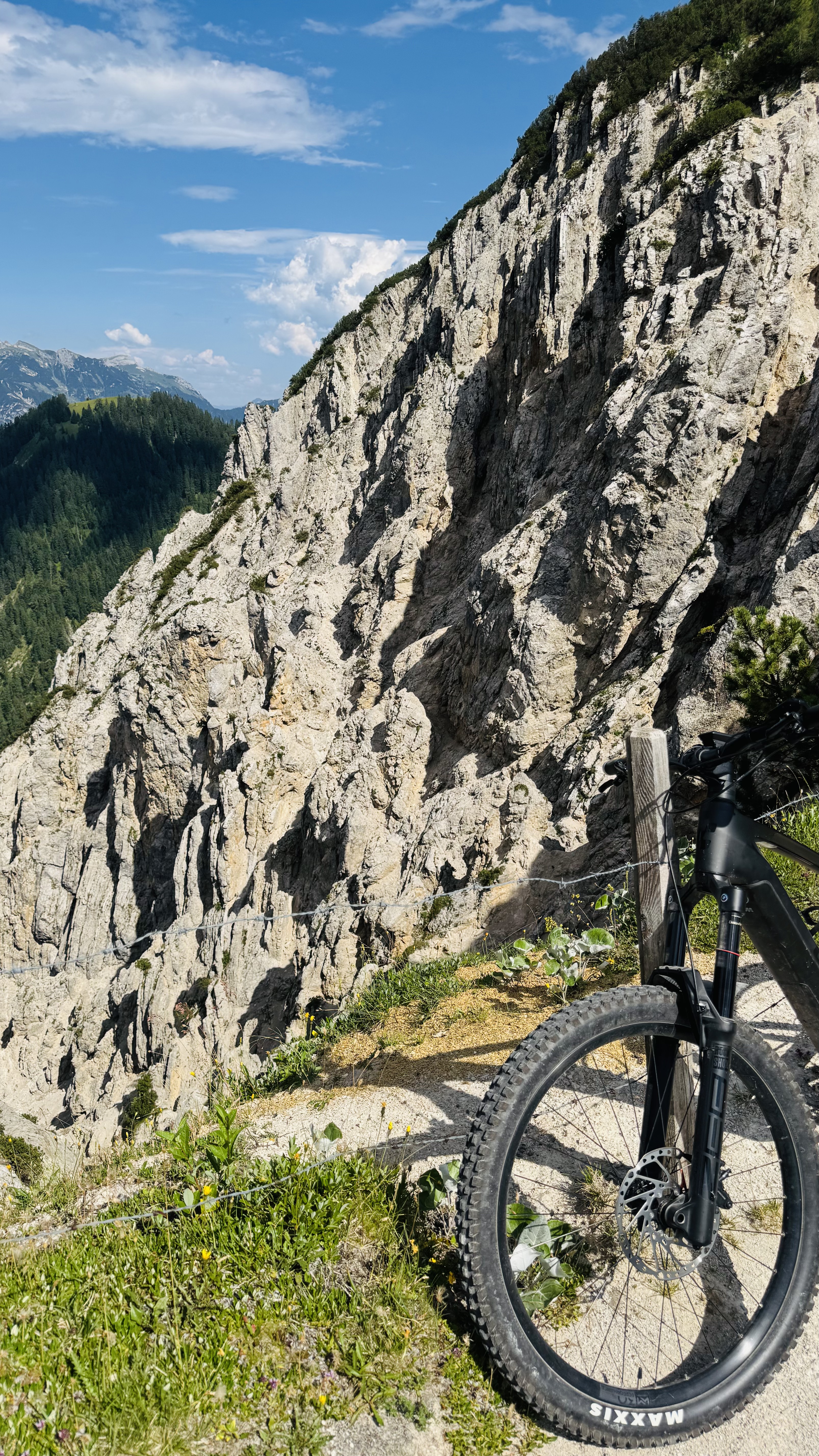
Beautiful route crossing the Plumsjoch pass at an altitude of 1630 meters. At the pass, there is a classic mountain hut where cyclists and hikers in general are welcome. The return through the German part is somewhat longer, but it passes pleasantly since it is mostly gently downhill.
created this 15 years ago
Continue with Bikemap
You would like to ride Maurach - Plumsjoch - De - Maurach or customize it for your own trip? Here is what you can do with this Bikemap route:
Free trial for 3 days, or one-time payment. More about Bikemap Premium.
Discover more Premium features.
Get Bikemap PremiumFrom our community
Open it in the app