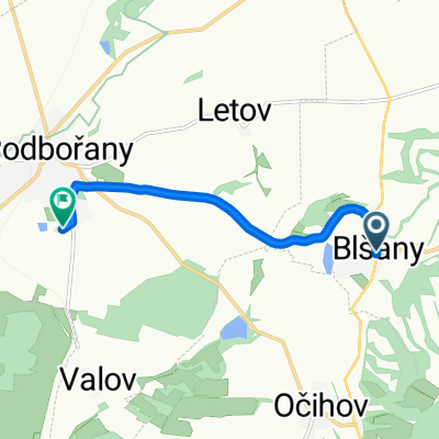
Blšany - Kounov (Kounovské řady)
- 22.7 km
- 367 m
- 127 m
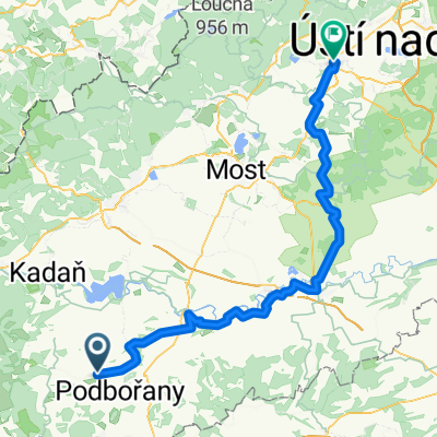
- Podbořany, Ústecký kraj, Czechia
A cycling route starting in Podbořany, Ústecký kraj, Czechia.
Overview
A more challenging route that ends in Lánech, the place where the President of the Czech Republic has his official summer residence. The castle is not open to the public, but the park can be visited.
created this 15 years ago
Route quality
Road
5.8 km
12 %
Quiet road
1 km
2 %
Paved
6.8 km
(14 %)
Unpaved
1 km
(2 %)
Asphalt
6.8 km
14 %
Gravel
1 km
2 %
Undefined
40.7 km
84 %
Continue with Bikemap
You would like to ride Blšany - Lány (zámek v Lánech) or customize it for your own trip? Here is what you can do with this Bikemap route:
Free trial for 3 days, or one-time payment. More about Bikemap Premium.
Discover more Premium features.
Get Bikemap PremiumFrom our community
Open it in the app