

Gipfeltrail Hochschwarzwald
A cycling route starting in Titisee-Neustadt, Baden-Württemberg, Germany.
Overview
About this route
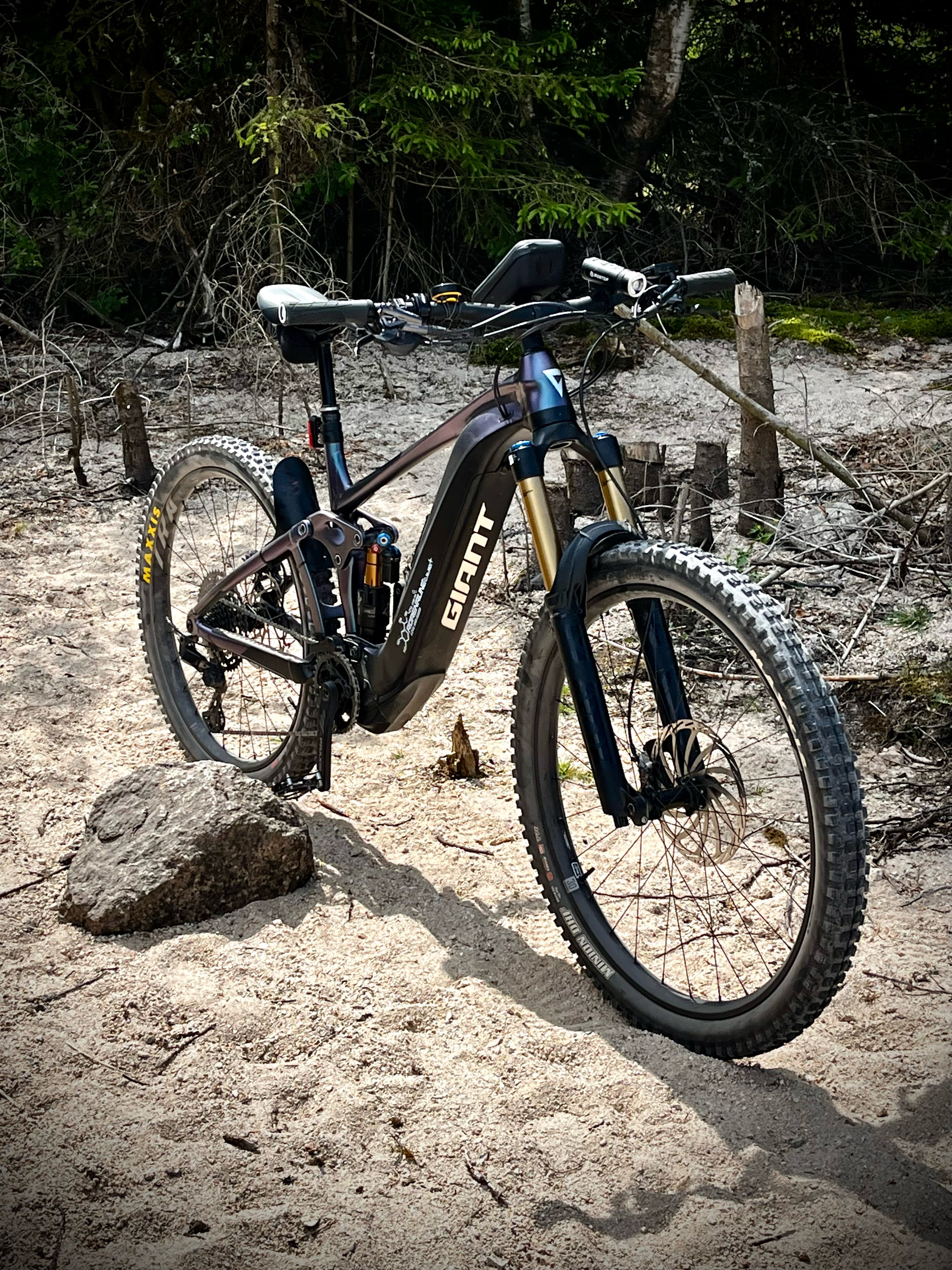
Knapp 140 Kilometer und 4000 Höhenmeter – dies und viele landschaftliche Highlights verbindet der Gipfeltrail Hochschwarzwald. Genau das richtige für eine anspruchsvolle Tagestour vorbei an den schönsten Flecken des Hochschwarzwalds. Alle die das Abenteuer suchen, können sich neben befestigten Forstwegen auch auf naturbelassene Trails freuen, die ca. ein Viertel der Strecke ausmachen.
- -:--
- Duration
- 127.8 km
- Distance
- 4,771 m
- Ascent
- 4,773 m
- Descent
- ---
- Avg. speed
- ---
- Max. altitude

Route quality
Waytypes & surfaces along the route
Waytypes
Track
93.1 km
(73 %)
Path
13.5 km
(11 %)
Surfaces
Paved
19.9 km
(16 %)
Unpaved
93.9 km
(73 %)
Gravel
52.8 km
(41 %)
Loose gravel
18.2 km
(14 %)
Continue with Bikemap
Use, edit, or download this cycling route
You would like to ride Gipfeltrail Hochschwarzwald or customize it for your own trip? Here is what you can do with this Bikemap route:
Free features
- Save this route as favorite or in collections
- Copy & plan your own version of this route
- Split it into stages to create a multi-day tour
- Sync your route with Garmin or Wahoo
Premium features
Free trial for 3 days, or one-time payment. More about Bikemap Premium.
- Navigate this route on iOS & Android
- Export a GPX / KML file of this route
- Create your custom printout (try it for free)
- Download this route for offline navigation
Discover more Premium features.
Get Bikemap PremiumFrom our community
Other popular routes starting in Titisee-Neustadt
 Titisee-St.Märgen-Todtnau-Feldberg-ret
- Distance
- 83.7 km
- Ascent
- 1,554 m
- Descent
- 1,554 m
- Location
- Titisee-Neustadt, Baden-Württemberg, Germany
 Hochfirsttour 4.6.15
- Distance
- 39.7 km
- Ascent
- 718 m
- Descent
- 719 m
- Location
- Titisee-Neustadt, Baden-Württemberg, Germany
 titisee 68 1400
- Distance
- 67.7 km
- Ascent
- 1,207 m
- Descent
- 1,207 m
- Location
- Titisee-Neustadt, Baden-Württemberg, Germany
 Vattatach 2013
- Distance
- 345.6 km
- Ascent
- 554 m
- Descent
- 1,251 m
- Location
- Titisee-Neustadt, Baden-Württemberg, Germany
 schluchsee
- Distance
- 32.6 km
- Ascent
- 423 m
- Descent
- 267 m
- Location
- Titisee-Neustadt, Baden-Württemberg, Germany
 Titisee zum Schluchsee und Schluchsee Umrundung
- Distance
- 28.8 km
- Ascent
- 721 m
- Descent
- 630 m
- Location
- Titisee-Neustadt, Baden-Württemberg, Germany
 Route zu Badeparadies Schwarzwald
- Distance
- 5.9 km
- Ascent
- 71 m
- Descent
- 31 m
- Location
- Titisee-Neustadt, Baden-Württemberg, Germany
 Neustadt - St.Peter - Kirchzarten
- Distance
- 67.1 km
- Ascent
- 922 m
- Descent
- 922 m
- Location
- Titisee-Neustadt, Baden-Württemberg, Germany
Open it in the app