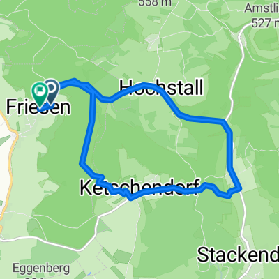
Friesen 03.04.2020 12.58 km
- 12.6 km
- 345 m
- 346 m
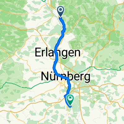
- Buttenheim, Bavaria, Germany
A cycling route starting in Buttenheim, Bavaria, Germany.
Overview
created this 17 years ago
Route quality
Quiet road
47.7 km
(24 %)
Track
37.8 km
(19 %)
Paved
147.2 km
(74 %)
Unpaved
8 km
(4 %)
Asphalt
131.3 km
(66 %)
Paved (undefined)
9.9 km
(5 %)
Route highlights
Erste Rtappe Buttenheim - Rothenburg Zweite Etappe R.- Großeicholzheim
Hollenbacherweiher
Anglerheim
Continue with Bikemap
You would like to ride Buttenheim-Rothenburg o d T-Großeicholzheim or customize it for your own trip? Here is what you can do with this Bikemap route:
Free trial for 3 days, or one-time payment. More about Bikemap Premium.
Discover more Premium features.
Get Bikemap PremiumFrom our community
Open it in the app