
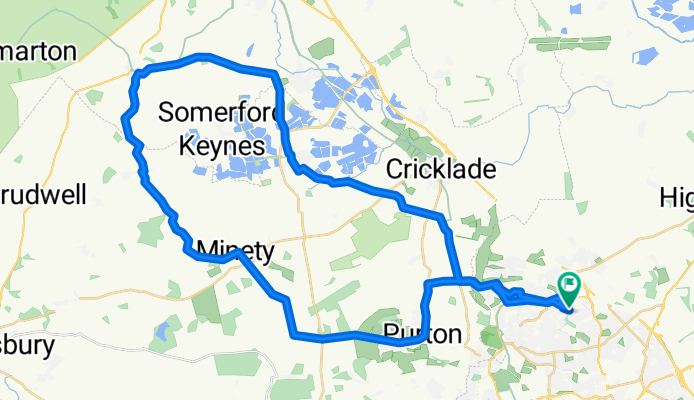
Saturday 2nd May
A cycling route starting in Broad Blunsdon, England, United Kingdom.
Overview
About this route
- -:--
- Duration
- 48.9 km
- Distance
- 158 m
- Ascent
- 155 m
- Descent
- ---
- Avg. speed
- ---
- Max. altitude
Route quality
Waytypes & surfaces along the route
Waytypes
Road
33.2 km
(68 %)
Quiet road
10.3 km
(21 %)
Surfaces
Paved
6.4 km
(13 %)
Asphalt
5.9 km
(12 %)
Paved (undefined)
0.5 km
(1 %)
Undefined
42.5 km
(87 %)
Continue with Bikemap
Use, edit, or download this cycling route
You would like to ride Saturday 2nd May or customize it for your own trip? Here is what you can do with this Bikemap route:
Free features
- Save this route as favorite or in collections
- Copy & plan your own version of this route
- Sync your route with Garmin or Wahoo
Premium features
Free trial for 3 days, or one-time payment. More about Bikemap Premium.
- Navigate this route on iOS & Android
- Export a GPX / KML file of this route
- Create your custom printout (try it for free)
- Download this route for offline navigation
Discover more Premium features.
Get Bikemap PremiumFrom our community
Other popular routes starting in Broad Blunsdon
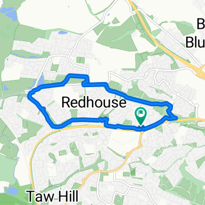 Shorter Tadpole Round
- Distance
- 6.2 km
- Ascent
- 43 m
- Descent
- 42 m
- Location
- Broad Blunsdon, England, United Kingdom
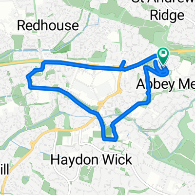
 Slow ride in Swindon
- Distance
- 6.5 km
- Ascent
- 30 m
- Descent
- 30 m
- Location
- Broad Blunsdon, England, United Kingdom
 biking
- Distance
- 9.4 km
- Ascent
- 531 m
- Descent
- 533 m
- Location
- Broad Blunsdon, England, United Kingdom
 Easy 5k
- Distance
- 5.2 km
- Ascent
- 18 m
- Descent
- 18 m
- Location
- Broad Blunsdon, England, United Kingdom
 Mid 20k
- Distance
- 13.8 km
- Ascent
- 87 m
- Descent
- 75 m
- Location
- Broad Blunsdon, England, United Kingdom
 Saturday 2nd May
- Distance
- 48.9 km
- Ascent
- 158 m
- Descent
- 155 m
- Location
- Broad Blunsdon, England, United Kingdom
 Woolner Road 21 to John Ruskin Road 61
- Distance
- 24.4 km
- Ascent
- 32 m
- Descent
- 30 m
- Location
- Broad Blunsdon, England, United Kingdom
 tetbury and back 31-05
- Distance
- 66 km
- Ascent
- 198 m
- Descent
- 198 m
- Location
- Broad Blunsdon, England, United Kingdom
Open it in the app