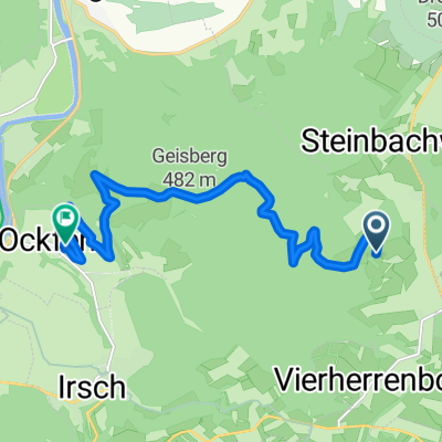
Am Steinbruch 2, Baldringen nach Karthäuser Straße 3, Konz
- 21.8 km
- 198 m
- 509 m
- Baldringen, Rhineland-Palatinate, Germany
A cycling route starting in Baldringen, Rhineland-Palatinate, Germany.
Overview
The hike is characterized by solitary forest paths and beautiful meadow trails with views of the Black Forest and the Hunsrück. In between, powerful quartzite rock formations await to be climbed in sections. Some sure-footedness is required. The view from the summit cross of Gipfelkopf over the heights of the Black Forest is breathtaking.
created this 6 years ago
Route quality
Path
7.8 km
61 %
Track
4.6 km
36 %
Paved
1.2 km
(9 %)
Unpaved
10.1 km
(79 %)
Ground
9.2 km
72 %
Paved (undefined)
0.9 km
7 %
Continue with Bikemap
You would like to ride Baldringen-Ruwer-Hochwald Schleife or customize it for your own trip? Here is what you can do with this Bikemap route:
Free trial for 3 days, or one-time payment. More about Bikemap Premium.
Discover more Premium features.
Get Bikemap PremiumFrom our community
Open it in the app