4-Täler-Runde
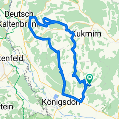
A cycling route starting in Eltendorf, Burgenland, Austria.
Overview
About this route
Nach dem Start in Poppendorf im Bgld. entlang der Lafnitzauen über Gillersdorf und Loipersdorf in den Raum Ebersdorf. Kurzer Anstieg nach Ederberg gefolgt von einer Abfahrt in das Grazbachtal. Über Hatzendorf geht´s weiter am Raabtalwanderweg bis Mogersdorf. Überquerung in das Lafnitztal über den Schlösslberg mit wunderschöner Aussichts- und Rastmöglichkeit.
- -:--
- Duration
- 62 km
- Distance
- 350 m
- Ascent
- 353 m
- Descent
- ---
- Avg. speed
- ---
- Avg. speed
Route quality
Waytypes & surfaces along the route
Waytypes
Quiet road
26.2 km
(42 %)
Track
24.2 km
(39 %)
Surfaces
Paved
45.8 km
(74 %)
Unpaved
11.9 km
(19 %)
Asphalt
41.5 km
(67 %)
Gravel
8.9 km
(14 %)
Continue with Bikemap
Use, edit, or download this cycling route
You would like to ride 4-Täler-Runde or customize it for your own trip? Here is what you can do with this Bikemap route:
Free features
- Save this route as favorite or in collections
- Copy & plan your own version of this route
- Sync your route with Garmin or Wahoo
Premium features
Free trial for 3 days, or one-time payment. More about Bikemap Premium.
- Navigate this route on iOS & Android
- Export a GPX / KML file of this route
- Create your custom printout (try it for free)
- Download this route for offline navigation
Discover more Premium features.
Get Bikemap PremiumFrom our community
Other popular routes starting in Eltendorf
- Südburgenländisches Uhudlerhügelfahren, Bademöglichkeit bei Lafnitz
- Distance
- 19.6 km
- Ascent
- 141 m
- Descent
- 140 m
- Location
- Eltendorf, Burgenland, Austria
- Riesenfahrt nach Güssing
- Distance
- 43.6 km
- Ascent
- 445 m
- Descent
- 446 m
- Location
- Eltendorf, Burgenland, Austria
- Thermenrunde
- Distance
- 37.1 km
- Ascent
- 217 m
- Descent
- 217 m
- Location
- Eltendorf, Burgenland, Austria
- Auf nach Mariabild!
- Distance
- 28.1 km
- Ascent
- 251 m
- Descent
- 251 m
- Location
- Eltendorf, Burgenland, Austria
- Über die Hügel Kukmirns
- Distance
- 29.4 km
- Ascent
- 354 m
- Descent
- 354 m
- Location
- Eltendorf, Burgenland, Austria
- Waldrunde
- Distance
- 10.7 km
- Ascent
- 115 m
- Descent
- 115 m
- Location
- Eltendorf, Burgenland, Austria
- Große Bergrunde
- Distance
- 14.3 km
- Ascent
- 202 m
- Descent
- 202 m
- Location
- Eltendorf, Burgenland, Austria
- Riesenhügelrunde
- Distance
- 37.5 km
- Ascent
- 356 m
- Descent
- 356 m
- Location
- Eltendorf, Burgenland, Austria
Open it in the app