

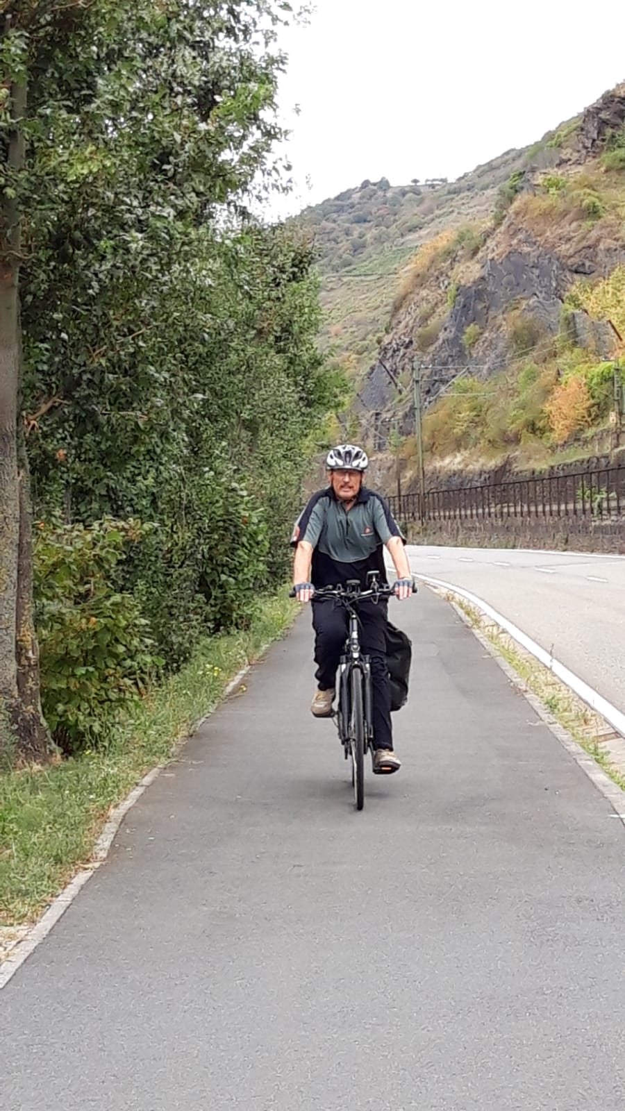
Leinpfad an der Ruhr
A cycling route starting in Hattingen, North Rhine-Westphalia, Germany.
Overview
About this route
Von der Burg Kemnade am Parkplatz zum Schwimmbrücke nach Bochum-Dahlhausen
- -:--
- Duration
- 16.9 km
- Distance
- 88 m
- Ascent
- 102 m
- Descent
- ---
- Avg. speed
- ---
- Max. altitude
Route quality
Waytypes & surfaces along the route
Waytypes
Path
9 km
(53 %)
Quiet road
4.6 km
(27 %)
Surfaces
Paved
15.7 km
(93 %)
Unpaved
1.2 km
(7 %)
Asphalt
15.5 km
(92 %)
Gravel
1 km
(6 %)
Continue with Bikemap
Use, edit, or download this cycling route
You would like to ride Leinpfad an der Ruhr or customize it for your own trip? Here is what you can do with this Bikemap route:
Free features
- Save this route as favorite or in collections
- Copy & plan your own version of this route
- Sync your route with Garmin or Wahoo
Premium features
Free trial for 3 days, or one-time payment. More about Bikemap Premium.
- Navigate this route on iOS & Android
- Export a GPX / KML file of this route
- Create your custom printout (try it for free)
- Download this route for offline navigation
Discover more Premium features.
Get Bikemap PremiumFrom our community
Other popular routes starting in Hattingen
 Tour zum Verlieben: Hattingen-Bochum-Hattingen,T 10
- Distance
- 40.9 km
- Ascent
- 361 m
- Descent
- 368 m
- Location
- Hattingen, North Rhine-Westphalia, Germany
 05 Hattingen Haßlinghausen Kemnade Hattingen
- Distance
- 49.8 km
- Ascent
- 328 m
- Descent
- 343 m
- Location
- Hattingen, North Rhine-Westphalia, Germany
 Ruhr-West
- Distance
- 120.2 km
- Ascent
- 166 m
- Descent
- 169 m
- Location
- Hattingen, North Rhine-Westphalia, Germany
 Durch das Revier
- Distance
- 83.6 km
- Ascent
- 319 m
- Descent
- 317 m
- Location
- Hattingen, North Rhine-Westphalia, Germany
 Hattinger RTF 25km
- Distance
- 24.5 km
- Ascent
- 356 m
- Descent
- 354 m
- Location
- Hattingen, North Rhine-Westphalia, Germany
 Bochum-Gemüsescheune Elfringhauserschweiz-Isenburg-Bochum
- Distance
- 23.8 km
- Ascent
- 326 m
- Descent
- 352 m
- Location
- Hattingen, North Rhine-Westphalia, Germany
 Forstautobahn Surfer
- Distance
- 25.6 km
- Ascent
- 568 m
- Descent
- 570 m
- Location
- Hattingen, North Rhine-Westphalia, Germany
 Kemnade
- Distance
- 53.6 km
- Ascent
- 298 m
- Descent
- 298 m
- Location
- Hattingen, North Rhine-Westphalia, Germany
Open it in the app