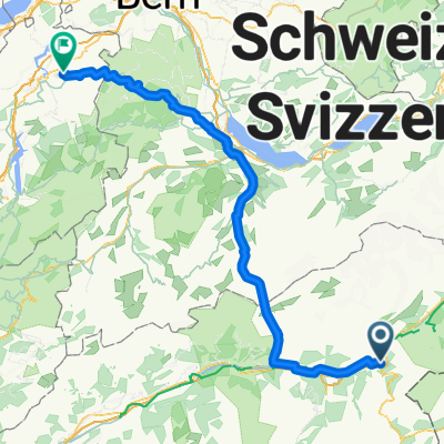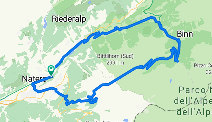

Brig - Grimsel - Luzern
- 140.8 km
- 3,418 m
- 3,656 m
- Naters, Valais, Switzerland
A cycling route starting in Naters, Valais, Switzerland.
Overview
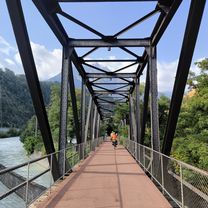
The start is in Brig, alternatively you can take the train (MGB) to Fiesch and start from there. Via Grengiols and Hockmatte, we reach the Lengtal valley. From here, it climbs over 1000 meters in elevation up to beneath the Breithorn. At the last hairpin, continue straight ahead. Now partly pushing, partly riding up to the Saflisch Pass. The view from up here is simply sensational. The following trail leads us back to Brig and makes up for the effort. A must if you are in Upper Valais.
created this 15 years ago
Continue with Bikemap
You would like to ride über den Saflisch-Pass or customize it for your own trip? Here is what you can do with this Bikemap route:
Free trial for 3 days, or one-time payment. More about Bikemap Premium.
Discover more Premium features.
Get Bikemap PremiumFrom our community
Open it in the app