

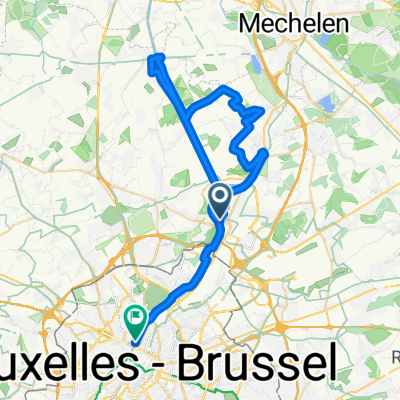
Vilvoorde zemst
A cycling route starting in Vilvoorde, Flemish Region, Belgium.
Overview
About this route
- 56 min
- Duration
- 19.4 km
- Distance
- 244 m
- Ascent
- 340 m
- Descent
- 20.7 km/h
- Avg. speed
- ---
- Max. altitude

Continue with Bikemap
Use, edit, or download this cycling route
You would like to ride Vilvoorde zemst or customize it for your own trip? Here is what you can do with this Bikemap route:
Free features
- Save this route as favorite or in collections
- Copy & plan your own version of this route
- Sync your route with Garmin or Wahoo
Premium features
Free trial for 3 days, or one-time payment. More about Bikemap Premium.
- Navigate this route on iOS & Android
- Export a GPX / KML file of this route
- Create your custom printout (try it for free)
- Download this route for offline navigation
Discover more Premium features.
Get Bikemap PremiumFrom our community
Other popular routes starting in Vilvoorde
 Quai de Vilvoorde - Quai de Hembeek
- Distance
- 45 km
- Ascent
- 54 m
- Descent
- 40 m
- Location
- Vilvoorde, Flemish Region, Belgium
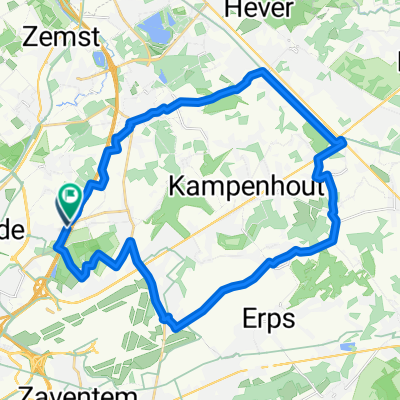
 Route naar diegem
- Distance
- 32.2 km
- Ascent
- 105 m
- Descent
- 82 m
- Location
- Vilvoorde, Flemish Region, Belgium
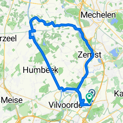
 16 oktober 25
- Distance
- 31.4 km
- Ascent
- 67 m
- Descent
- 67 m
- Location
- Vilvoorde, Flemish Region, Belgium
 Mechelen/Kapelle-op-den-bos/Vilvorde
- Distance
- 36.9 km
- Ascent
- 68 m
- Descent
- 68 m
- Location
- Vilvoorde, Flemish Region, Belgium
 Martelarenstraat naar Martelarenstraat
- Distance
- 37 km
- Ascent
- 26 m
- Descent
- 72 m
- Location
- Vilvoorde, Flemish Region, Belgium
 Alternative northern loop for Gordel
- Distance
- 30.1 km
- Ascent
- 117 m
- Descent
- 52 m
- Location
- Vilvoorde, Flemish Region, Belgium
 20.4km
- Distance
- 19.4 km
- Ascent
- 26 m
- Descent
- 22 m
- Location
- Vilvoorde, Flemish Region, Belgium
 otra
otra- Distance
- 18.7 km
- Ascent
- 17 m
- Descent
- 23 m
- Location
- Vilvoorde, Flemish Region, Belgium
Open it in the app