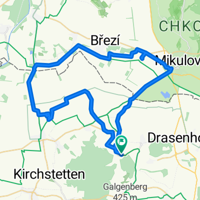
Neuruppersdorf 219 nach Josef Dunkl-Straße 4-14, Mistelbach
A cycling route starting in Ottenthal, Lower Austria, Austria.
Overview
About this route
- 2 h 23 min
- Duration
- 30.5 km
- Distance
- 352 m
- Ascent
- 351 m
- Descent
- 12.9 km/h
- Avg. speed
- ---
- Max. altitude
Route quality
Waytypes & surfaces along the route
Waytypes
Quiet road
12.8 km
(42 %)
Track
7.9 km
(26 %)
Surfaces
Paved
20.1 km
(66 %)
Unpaved
0.9 km
(3 %)
Asphalt
18.9 km
(62 %)
Paved (undefined)
1.2 km
(4 %)
Continue with Bikemap
Use, edit, or download this cycling route
You would like to ride Neuruppersdorf 219 nach Josef Dunkl-Straße 4-14, Mistelbach or customize it for your own trip? Here is what you can do with this Bikemap route:
Free features
- Save this route as favorite or in collections
- Copy & plan your own version of this route
- Sync your route with Garmin or Wahoo
Premium features
Free trial for 3 days, or one-time payment. More about Bikemap Premium.
- Navigate this route on iOS & Android
- Export a GPX / KML file of this route
- Create your custom printout (try it for free)
- Download this route for offline navigation
Discover more Premium features.
Get Bikemap PremiumFrom our community
Other popular routes starting in Ottenthal
- Neuruppersdorf 3, Neuruppersdorf to Pasohlávky
- Distance
- 23.3 km
- Ascent
- 90 m
- Descent
- 138 m
- Location
- Ottenthal, Lower Austria, Austria
- Mikulov-Wiedeń
- Distance
- 130.1 km
- Ascent
- 361 m
- Descent
- 399 m
- Location
- Ottenthal, Lower Austria, Austria
- Neuruppersdorf nach Neuruppersdorf
- Distance
- 29.1 km
- Ascent
- 220 m
- Descent
- 233 m
- Location
- Ottenthal, Lower Austria, Austria
- Tagesausflug Tschechien
- Distance
- 57.9 km
- Ascent
- 144 m
- Descent
- 150 m
- Location
- Ottenthal, Lower Austria, Austria
- Březí-Rakousko-Nový Přerov
- Distance
- 34.2 km
- Ascent
- 96 m
- Descent
- 107 m
- Location
- Ottenthal, Lower Austria, Austria
- Neuruppersdorf 219 nach Josef Dunkl-Straße 4-14, Mistelbach
- Distance
- 30.5 km
- Ascent
- 352 m
- Descent
- 351 m
- Location
- Ottenthal, Lower Austria, Austria
- Galgenberg-Ottenthal
- Distance
- 6.9 km
- Ascent
- 83 m
- Descent
- 62 m
- Location
- Ottenthal, Lower Austria, Austria
- Pálava Radtour
- Distance
- 67.6 km
- Ascent
- 279 m
- Descent
- 320 m
- Location
- Ottenthal, Lower Austria, Austria
Open it in the app