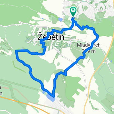
Jirkovo utrpeni
A cycling route starting in Troubsko, South Moravian, Czechia.
Overview
About this route
Příjemná cesta se spoustou miožností doplnění tekutin, pěkné na rodinný výklet
- -:--
- Duration
- 54.3 km
- Distance
- 695 m
- Ascent
- 727 m
- Descent
- ---
- Avg. speed
- 480 m
- Avg. speed
Route quality
Waytypes & surfaces along the route
Waytypes
Road
16.2 km
(30 %)
Track
16.2 km
(30 %)
Surfaces
Paved
25.6 km
(47 %)
Unpaved
8.4 km
(16 %)
Asphalt
22.4 km
(41 %)
Unpaved (undefined)
2.9 km
(5 %)
Continue with Bikemap
Use, edit, or download this cycling route
You would like to ride Jirkovo utrpeni or customize it for your own trip? Here is what you can do with this Bikemap route:
Free features
- Save this route as favorite or in collections
- Copy & plan your own version of this route
- Sync your route with Garmin or Wahoo
Premium features
Free trial for 3 days, or one-time payment. More about Bikemap Premium.
- Navigate this route on iOS & Android
- Export a GPX / KML file of this route
- Create your custom printout (try it for free)
- Download this route for offline navigation
Discover more Premium features.
Get Bikemap PremiumFrom our community
Other popular routes starting in Troubsko
- na hrad Veveří
- Distance
- 16.3 km
- Ascent
- 388 m
- Descent
- 386 m
- Location
- Troubsko, South Moravian, Czechia
- Kolem žebětína
- Distance
- 11.7 km
- Ascent
- 257 m
- Descent
- 259 m
- Location
- Troubsko, South Moravian, Czechia
- 3. Etappe - Brno to Tábor - Saturday 28th April
- Distance
- 166.7 km
- Ascent
- 1,302 m
- Descent
- 1,106 m
- Location
- Troubsko, South Moravian, Czechia
- Bílý potok
- Distance
- 54.6 km
- Ascent
- 948 m
- Descent
- 1,004 m
- Location
- Troubsko, South Moravian, Czechia
- Brno -Vídeň
- Distance
- 160.7 km
- Ascent
- 587 m
- Descent
- 732 m
- Location
- Troubsko, South Moravian, Czechia
- jen tak
- Distance
- 55.5 km
- Ascent
- 921 m
- Descent
- 931 m
- Location
- Troubsko, South Moravian, Czechia
- Přírodní park, Podkomorské lesy
- Distance
- 16.5 km
- Ascent
- 324 m
- Descent
- 321 m
- Location
- Troubsko, South Moravian, Czechia
- 26.4.2010 Ztracená cesta
- Distance
- 29.6 km
- Ascent
- 507 m
- Descent
- 505 m
- Location
- Troubsko, South Moravian, Czechia