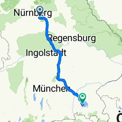
Winkelhaid-Vorderbreitenthann
- 85.2 km
- 416 m
- 334 m
- Winkelhaid, Bavaria, Germany
A cycling route starting in Winkelhaid, Bavaria, Germany.
Overview
From: Winkelhaider Straße, 90537 Feucht, Bavaria, Germany To: Königstraße 72, 83254 Breitbrunn am Chiemsee, Bavaria, Germany Routing: Road cycling - shortest
created this 5 years ago
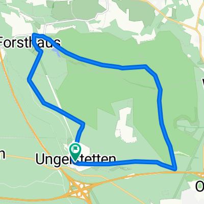
Route quality
Path
71 km
(29 %)
Quiet road
36.7 km
(15 %)
Paved
210.5 km
(86 %)
Asphalt
210.5 km
(86 %)
Undefined
34.3 km
(14 %)
Continue with Bikemap
You would like to ride Feucht - Breitbrunn am Chiemsee or customize it for your own trip? Here is what you can do with this Bikemap route:
Free trial for 3 days, or one-time payment. More about Bikemap Premium.
Discover more Premium features.
Get Bikemap PremiumFrom our community
Open it in the app