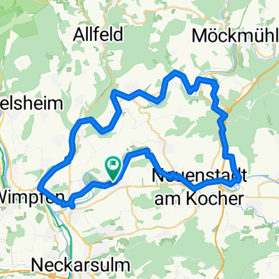
Route zu Oedheim Marktplatz
- 60.6 km
- 998 m
- 989 m
- Oedheim, Baden-Wurttemberg, Germany
A cycling route starting in Oedheim, Baden-Wurttemberg, Germany.
Overview
Enjoy a leisurely ride up to Katzenbuckel and then relax on the way back to BFH after the King of the Mountain point.
created this 15 years ago
Route quality
Track
10.8 km
14 %
Quiet road
8.5 km
11 %
Paved
61.6 km
(80 %)
Unpaved
4.6 km
(6 %)
Asphalt
58.5 km
76 %
Paved (undefined)
3.1 km
4 %
Continue with Bikemap
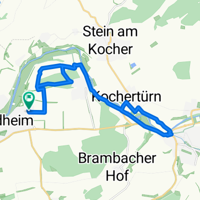
You would like to ride Untergriesheim - Katzenbuckel or customize it for your own trip? Here is what you can do with this Bikemap route:
Free trial for 3 days, or one-time payment. More about Bikemap Premium.
Discover more Premium features.
Get Bikemap PremiumFrom our community
Open it in the app