KIN-22L Spring 2020
2020-05-05 Cinco de Mayo
A cycling route starting in Santa Cruz, California, United States.
Overview
About this route
This is very much like the ride I did last time but I avoided High Street and went on Escalona.
- -:--
- Duration
- 16.2 km
- Distance
- 85 m
- Ascent
- 83 m
- Descent
- ---
- Avg. speed
- ---
- Max. altitude
Part of
17 stages
Route quality
Waytypes & surfaces along the route
Waytypes
Cycleway
8.4 km
(52 %)
Road
2.9 km
(18 %)
Surfaces
Paved
12.5 km
(77 %)
Asphalt
11.5 km
(71 %)
Paved (undefined)
0.5 km
(3 %)
Route highlights
Points of interest along the route
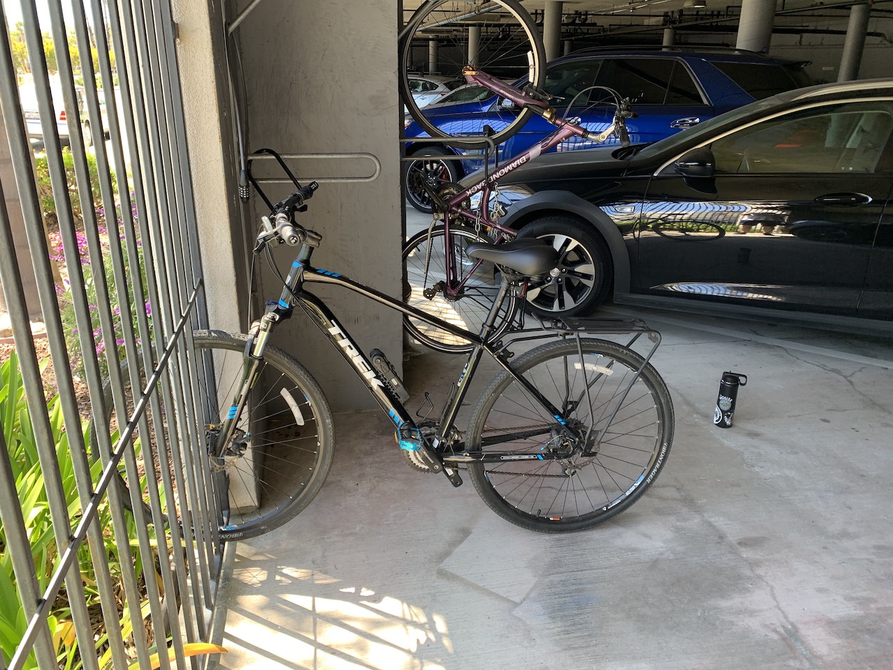
Photo after 0 km
Beginning
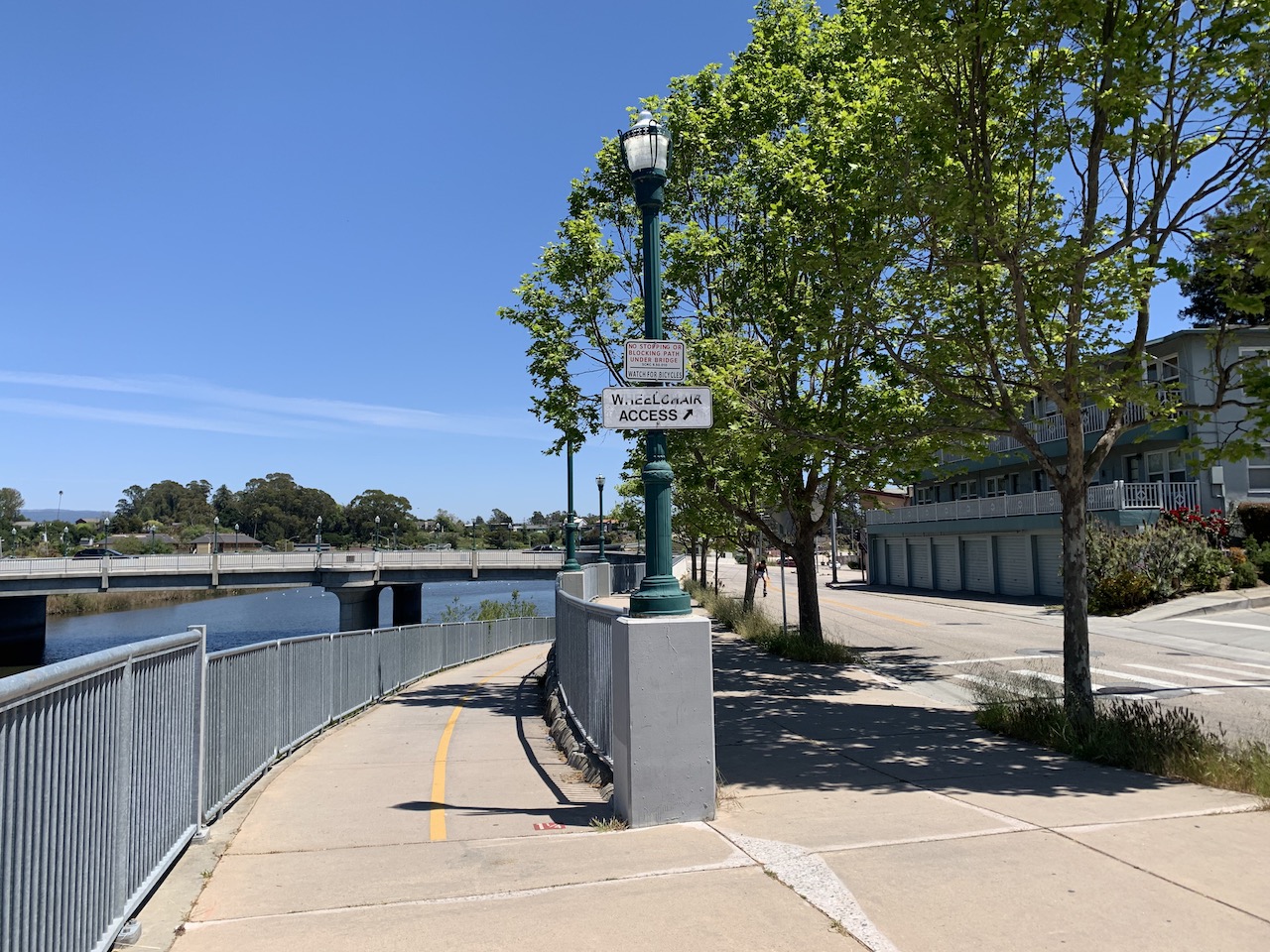
Photo after 0.2 km
Bike Trail to bridge

Photo after 1 km
There is a bridge here

Photo after 1.4 km
View of the bridge

Photo after 3.8 km
I wish I had discovered this route sooner.

Photo after 4.6 km
View of the Santa Cruz courthouse building
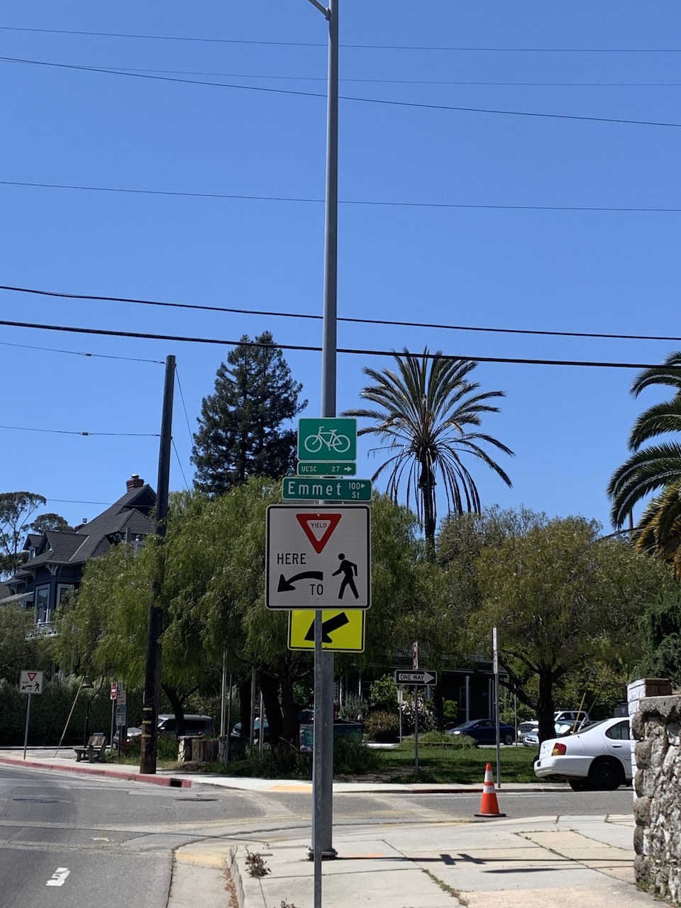
Photo after 5.1 km
Way to the overpass I discovered last time,

Photo after 5.5 km
On the overpass

Photo after 5.8 km
High Street was too much hill for me so this is my alternative route

Photo after 8.4 km
Escalona and Arroyo Seco

Photo after 9.1 km
Sneaky little way through

Photo after 9.3 km
A business park

Photo after 10.1 km
This is a butterfly place
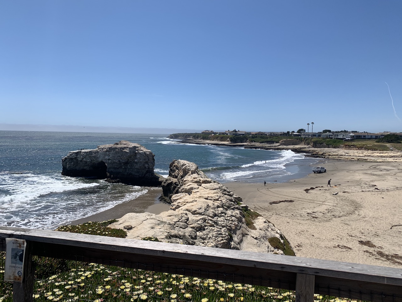
Photo after 10.7 km
Natural Bridges...not really a bridge anymore.
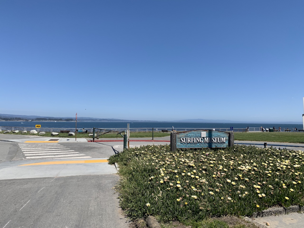
Photo after 14 km
The lighthouse is a surfing museum

Photo after 15.3 km
I don't go here often but this place is all right.

Photo after 15.9 km
Heading home
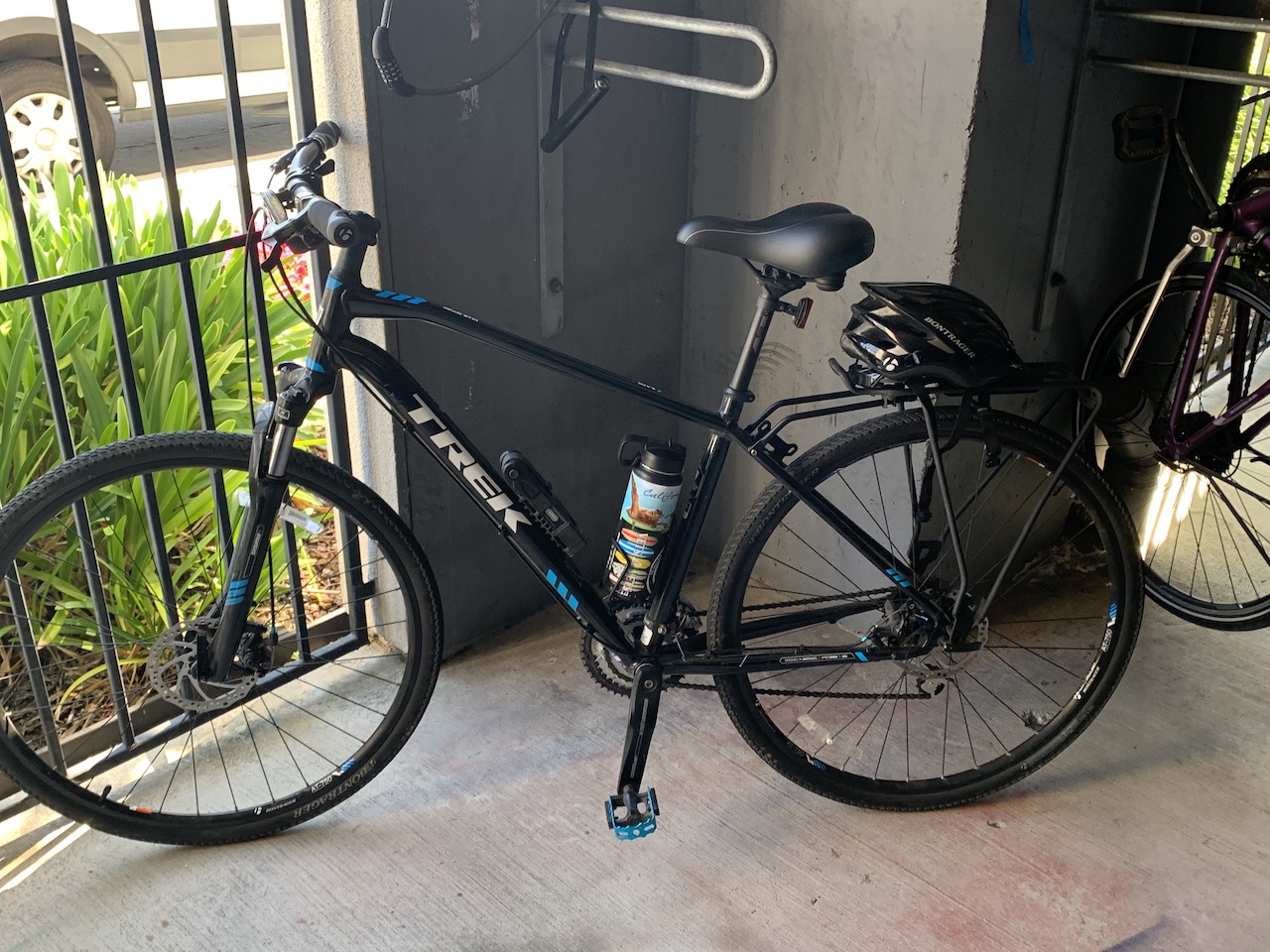
Photo after 16.2 km
End
Continue with Bikemap
Use, edit, or download this cycling route
You would like to ride 2020-05-05 Cinco de Mayo or customize it for your own trip? Here is what you can do with this Bikemap route:
Free features
- Save this route as favorite or in collections
- Copy & plan your own version of this route
- Sync your route with Garmin or Wahoo
Premium features
Free trial for 3 days, or one-time payment. More about Bikemap Premium.
- Navigate this route on iOS & Android
- Export a GPX / KML file of this route
- Create your custom printout (try it for free)
- Download this route for offline navigation
Discover more Premium features.
Get Bikemap PremiumFrom our community
Other popular routes starting in Santa Cruz
 2020-04-10 Bike Ride
- Distance
- 10.9 km
- Ascent
- 33 m
- Descent
- 36 m
- Location
- Santa Cruz, California, United States
 2020-04-15 Bike ride
- Distance
- 14 km
- Ascent
- 55 m
- Descent
- 59 m
- Location
- Santa Cruz, California, United States
 2020-05-14 Bike Ride
- Distance
- 16.4 km
- Ascent
- 85 m
- Descent
- 83 m
- Location
- Santa Cruz, California, United States
 2020-05-02 (Extended Route)
- Distance
- 17 km
- Ascent
- 98 m
- Descent
- 98 m
- Location
- Santa Cruz, California, United States
 2020-04-24 Bike Ride (In Reverse)
- Distance
- 14.5 km
- Ascent
- 32 m
- Descent
- 31 m
- Location
- Santa Cruz, California, United States
 2020-04-18 Bike Route
- Distance
- 14.8 km
- Ascent
- 53 m
- Descent
- 53 m
- Location
- Santa Cruz, California, United States
 2020-04-11 Bike Route 3
- Distance
- 13.9 km
- Ascent
- 45 m
- Descent
- 47 m
- Location
- Santa Cruz, California, United States
 Branciforte-Scotts Valley-Felton Empire loop
- Distance
- 40.4 km
- Ascent
- 905 m
- Descent
- 877 m
- Location
- Santa Cruz, California, United States
Open it in the app


