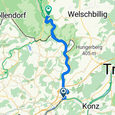
Wasserbillig-Remich
- 27.9 km
- 137 m
- 104 m
- Oberbillig, Rhineland-Palatinate, Germany
A cycling route starting in Oberbillig, Rhineland-Palatinate, Germany.
Overview
Mal auf luxemburgischer mal auf deutscher Seite begleitet der Radweg die Sauer zwischen Echternach und Wasserbillig. Fluss-Hopping par excellence!
created this 5 years ago
Route quality
Path
31.8 km
(66 %)
Quiet road
6.3 km
(13 %)
Paved
43.4 km
(90 %)
Unpaved
0.5 km
(1 %)
Asphalt
41.9 km
(87 %)
Paved (undefined)
1.4 km
(3 %)
Continue with Bikemap
You would like to ride Sauer-Radweg (Wasserbilligerbrück - Echternach - Wasserbillig) or customize it for your own trip? Here is what you can do with this Bikemap route:
Free trial for 3 days, or one-time payment. More about Bikemap Premium.
Discover more Premium features.
Get Bikemap PremiumFrom our community
Open it in the app