
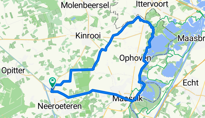
Grens- en Maasroute 30 km
A cycling route starting in Kinrooi, Flemish Region, Belgium.
Overview
About this route
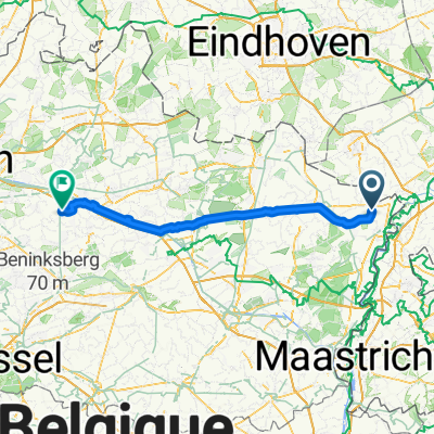
From Voorshoven to the border with the Netherlands at Neeritter. Then via Kessenich and the Meuse River to Aldeneik and Maaseik. Afterwards, along the bike path and the shortest route back to Neeroeteren and Voorshoven.
- -:--
- Duration
- 30.1 km
- Distance
- 27 m
- Ascent
- 30 m
- Descent
- ---
- Avg. speed
- ---
- Max. altitude

Route quality
Waytypes & surfaces along the route
Waytypes
Quiet road
20.2 km
(67 %)
Cycleway
4.8 km
(16 %)
Surfaces
Paved
16.9 km
(56 %)
Unpaved
0.6 km
(2 %)
Asphalt
15.1 km
(50 %)
Concrete
1.5 km
(5 %)
Continue with Bikemap
Use, edit, or download this cycling route
You would like to ride Grens- en Maasroute 30 km or customize it for your own trip? Here is what you can do with this Bikemap route:
Free features
- Save this route as favorite or in collections
- Copy & plan your own version of this route
- Sync your route with Garmin or Wahoo
Premium features
Free trial for 3 days, or one-time payment. More about Bikemap Premium.
- Navigate this route on iOS & Android
- Export a GPX / KML file of this route
- Create your custom printout (try it for free)
- Download this route for offline navigation
Discover more Premium features.
Get Bikemap PremiumFrom our community
Other popular routes starting in Kinrooi
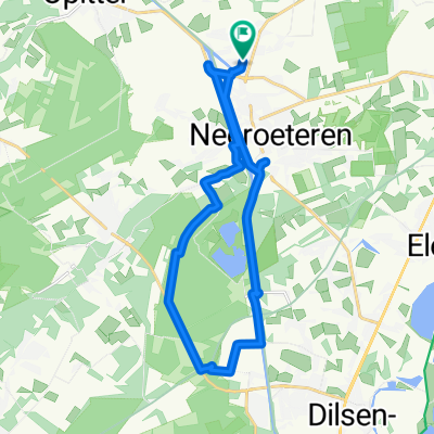 Comiteitsberg en Dilserbosroute 20 km
- Distance
- 19.2 km
- Ascent
- 72 m
- Descent
- 72 m
- Location
- Kinrooi, Flemish Region, Belgium
 Neeroeteren-Reppel-Ellikom-Rotem-Neeroeteren 48 km
- Distance
- 48.2 km
- Ascent
- 132 m
- Descent
- 132 m
- Location
- Kinrooi, Flemish Region, Belgium
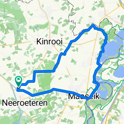
 Neeroeteren-Steenberg-Neeroeteren 27 km
- Distance
- 26.9 km
- Ascent
- 30 m
- Descent
- 31 m
- Location
- Kinrooi, Flemish Region, Belgium
 Grens- en Maasroute 30 km
- Distance
- 30.1 km
- Ascent
- 27 m
- Descent
- 30 m
- Location
- Kinrooi, Flemish Region, Belgium
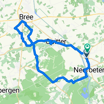 Lus NRT-Opitter-BREE-NRT 29 km
- Distance
- 28.7 km
- Ascent
- 86 m
- Descent
- 84 m
- Location
- Kinrooi, Flemish Region, Belgium
 Maas- en kanaalroute 39 km
- Distance
- 38.5 km
- Ascent
- 22 m
- Descent
- 22 m
- Location
- Kinrooi, Flemish Region, Belgium
 3_Kinrooi_Zandkapel
- Distance
- 75 km
- Ascent
- 144 m
- Descent
- 157 m
- Location
- Kinrooi, Flemish Region, Belgium
 Neeroeteren-As-Eisden-Neeroeteren 38 km
- Distance
- 38.4 km
- Ascent
- 74 m
- Descent
- 74 m
- Location
- Kinrooi, Flemish Region, Belgium
Open it in the app