CC Etapa 03 MONTSÉGUR a PUIVERT
- 47 km
- 573 m
- 889 m
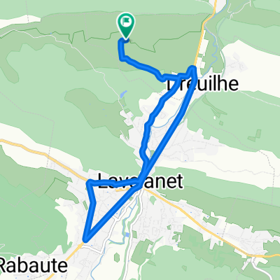
- Lavelanet, Occitanie, France
A cycling route starting in Lavelanet, Occitanie, France.
Overview
Villeneuve d'Olmes - St. Jean de Fenouillet
created this 17 years ago
Continue with Bikemap
You would like to ride Pyrenäen 2000 Etappe 15 or customize it for your own trip? Here is what you can do with this Bikemap route:
Free trial for 3 days, or one-time payment. More about Bikemap Premium.
Discover more Premium features.
Get Bikemap PremiumFrom our community
Open it in the app