

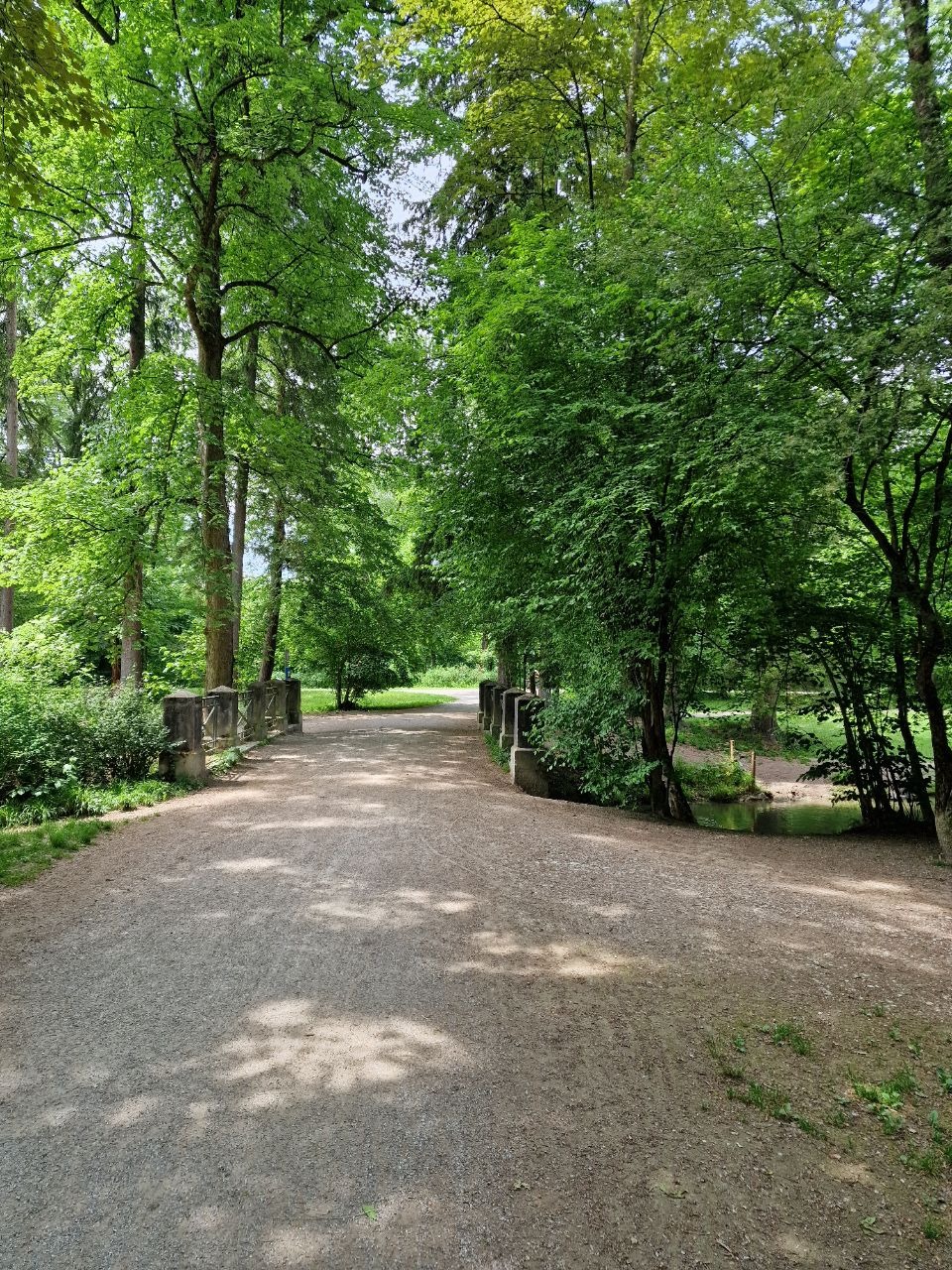
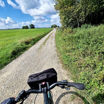
Unterföhring - Feringasee - B471 - Ismaing - Garching - Freimann - Unterföhring
A cycling route starting in Unterföhring, Bavaria, Germany.
Overview
About this route
- 1 h 28 min
- Duration
- 23.9 km
- Distance
- 48 m
- Ascent
- 50 m
- Descent
- 16.3 km/h
- Avg. speed
- ---
- Max. altitude

Route quality
Waytypes & surfaces along the route
Waytypes
Track
7.4 km
(31 %)
Quiet road
5.7 km
(24 %)
Surfaces
Paved
16.2 km
(68 %)
Unpaved
6.7 km
(28 %)
Asphalt
15.3 km
(64 %)
Loose gravel
2.6 km
(11 %)
Continue with Bikemap
Use, edit, or download this cycling route
You would like to ride Unterföhring - Feringasee - B471 - Ismaing - Garching - Freimann - Unterföhring or customize it for your own trip? Here is what you can do with this Bikemap route:
Free features
- Save this route as favorite or in collections
- Copy & plan your own version of this route
- Sync your route with Garmin or Wahoo
Premium features
Free trial for 3 days, or one-time payment. More about Bikemap Premium.
- Navigate this route on iOS & Android
- Export a GPX / KML file of this route
- Create your custom printout (try it for free)
- Download this route for offline navigation
Discover more Premium features.
Get Bikemap PremiumFrom our community
Other popular routes starting in Unterföhring
 Runde zwischen Erding und Markt Schwaben
- Distance
- 83.4 km
- Ascent
- 233 m
- Descent
- 233 m
- Location
- Unterföhring, Bavaria, Germany
 Speichersee Runde
- Distance
- 42.8 km
- Ascent
- 45 m
- Descent
- 57 m
- Location
- Unterföhring, Bavaria, Germany
 Teststrecke nach Starnberg
- Distance
- 33.1 km
- Ascent
- 167 m
- Descent
- 77 m
- Location
- Unterföhring, Bavaria, Germany
 Von Johanneskirchen nach Moosach
- Distance
- 11.6 km
- Ascent
- 29 m
- Descent
- 38 m
- Location
- Unterföhring, Bavaria, Germany
 Unterföhring - Aschheim - Kirchheim - Fischweiher - Ismaning - Garching - Freimann - Unterföhring
- Distance
- 33.8 km
- Ascent
- 35 m
- Descent
- 37 m
- Location
- Unterföhring, Bavaria, Germany
 Freimann - Grünwald - Freimann
- Distance
- 46.7 km
- Ascent
- 146 m
- Descent
- 145 m
- Location
- Unterföhring, Bavaria, Germany
 Tag 1: Von München nach Schongau
- Distance
- 98.5 km
- Ascent
- 744 m
- Descent
- 599 m
- Location
- Unterföhring, Bavaria, Germany
 München (City-Parktour 3)
- Distance
- 34.9 km
- Ascent
- 54 m
- Descent
- 54 m
- Location
- Unterföhring, Bavaria, Germany
Open it in the app