

lokátor
A cycling route starting in Őrbottyán, Pest County, Hungary.
Overview
About this route
- 5 h 8 min
- Duration
- 33 km
- Distance
- 462 m
- Ascent
- 517 m
- Descent
- 6.4 km/h
- Avg. speed
- ---
- Max. altitude

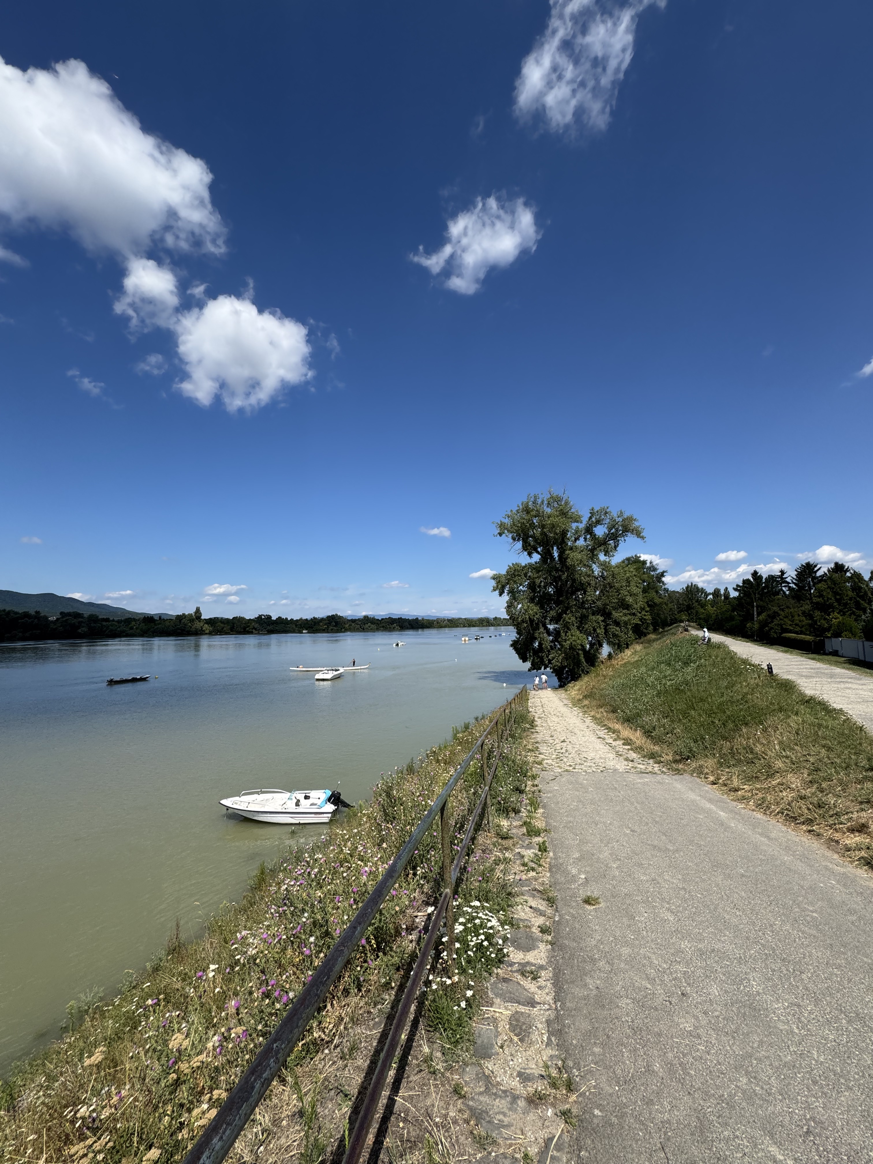
Route photos


Continue with Bikemap
Use, edit, or download this cycling route
You would like to ride lokátor or customize it for your own trip? Here is what you can do with this Bikemap route:
Free features
- Save this route as favorite or in collections
- Copy & plan your own version of this route
- Sync your route with Garmin or Wahoo
Premium features
Free trial for 3 days, or one-time payment. More about Bikemap Premium.
- Navigate this route on iOS & Android
- Export a GPX / KML file of this route
- Create your custom printout (try it for free)
- Download this route for offline navigation
Discover more Premium features.
Get Bikemap PremiumFrom our community
Other popular routes starting in Őrbottyán
 Napsugár utca, Csomád - Napsugár utca, Csomád
- Distance
- 30.4 km
- Ascent
- 254 m
- Descent
- 254 m
- Location
- Őrbottyán, Pest County, Hungary
 Petőfi tér 3, Vácrátót to Ferenciek tere 7, Budapest
- Distance
- 38 km
- Ascent
- 212 m
- Descent
- 230 m
- Location
- Őrbottyán, Pest County, Hungary
 Veres kertes örbottyan veres
- Distance
- 18.8 km
- Ascent
- 124 m
- Descent
- 122 m
- Location
- Őrbottyán, Pest County, Hungary
 75678657
- Distance
- 181.8 km
- Ascent
- 608 m
- Descent
- 692 m
- Location
- Őrbottyán, Pest County, Hungary
 Őrbottyàn - Budapest "rövidített"
- Distance
- 39.7 km
- Ascent
- 687 m
- Descent
- 773 m
- Location
- Őrbottyán, Pest County, Hungary
 Csomád K75'
- Distance
- 75 km
- Ascent
- 0 m
- Descent
- 0 m
- Location
- Őrbottyán, Pest County, Hungary
 Erkel Ferenc utca, Veresegyház - Evezős utca, Göd
- Distance
- 17.5 km
- Ascent
- 97 m
- Descent
- 167 m
- Location
- Őrbottyán, Pest County, Hungary
 2105, Őrbottyán - Petőfi Sándor utca 53, Váckisújfalu
- Distance
- 3.9 km
- Ascent
- 12 m
- Descent
- 50 m
- Location
- Őrbottyán, Pest County, Hungary
Open it in the app