Beelitz
- 97.5 km
- 153 m
- 152 m
- Berlin Schöneberg, State of Berlin, Germany
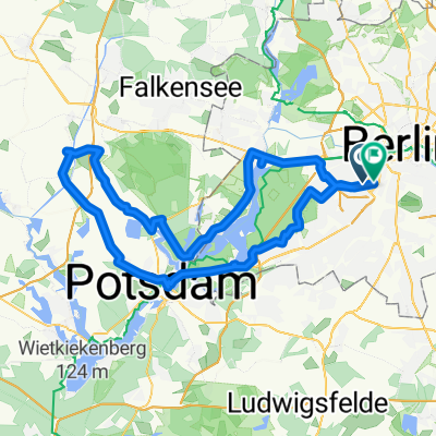
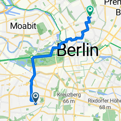
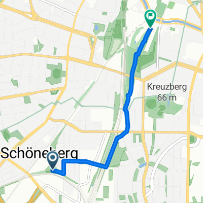
A cycling route starting in Berlin Schöneberg, State of Berlin, Germany.
Overview
Almost exclusively very quiet streets or good bike paths or bike routes without roads.
The Teltow Canal bike path is not fully asphalted, but it can be easily ridden with a road bike.
In Teltow/Birkenhain, there is a short push section over a field, alternatively, you can also turn left onto a forest path at the marking between Birkenhain and Neubeeren. The section of poorer quality is longer, but it is passable all the way. All alternatives would be associated with a lot of car traffic or very poor bike paths.
Attention: Both routes along the Teltow Canal (in Steglitz and Treptow) are quite full of pedestrians in good weather, and in Treptow/Neukölln, there are also alcoholics and unleashed dogs.
created this 15 years ago
Route quality
Path
20.3 km
(35 %)
Quiet road
15.6 km
(27 %)
Paved
46.9 km
(81 %)
Unpaved
2.9 km
(5 %)
Asphalt
46.3 km
(80 %)
Gravel
2.3 km
(4 %)
Route highlights
McDonald's & Kaufland
Biergarten Diedersdorf - eine nette Pausenmöglichkeit. Das Bier ist mit 3,50 für den 1/2 Liter (Stand 2011) zwar recht teuer, abend abends kurz vor Schluß verschenken sie bisweilen Brezeln.
Hier links auf den Weg/Pfad abbiegen, um den Acker zu umfahren. Das erste Stück Asphalt hinter dem Wäldchen ist ziemlich löchrig - den Lenker also gut festhalten. Dafür kommt man dann direkt vor dem Tulpenweg raus und spart sich die befahrene Hauptstraße (Mahlower Str.) in Birkenhain.
Hinweis: links in die letzte Parkplatzauffahrt vor der Brücke abbiegen; hinter dem Parkplatz folgt dann ein kurzes Stück Acker. Danach geht's auf normalen Straßen weiter.
Achtung: der Zwei-Richtungs-Radweg auf der südlichen Straßenseite endet abrupt und führt direkt in den Gegenverkehr. Danach folgt ein kurzes Stück auf einer vielbefahrenen Straße - nach etwa 200 m rechts in die Straße mit der Schranke abbiegen.
10m Sandweg
Die ausgeschilderte Route unbedingt vorzeitig verlassen - ist a) kürzer und spart b) ein kurze 'Abfahrt' auf schlechtem Kopfsteinpflaster. (Man sollte die Planer(innen) von Radrouten zwingen, ihre Route ein Jahr jeden Tag zweimal zu fahren, dann würde bestimmt weniger Schrott rauskommen.)
Continue with Bikemap
You would like to ride Feierabendrunde Süd or customize it for your own trip? Here is what you can do with this Bikemap route:
Free trial for 3 days, or one-time payment. More about Bikemap Premium.
Discover more Premium features.
Get Bikemap PremiumFrom our community
Open it in the app