

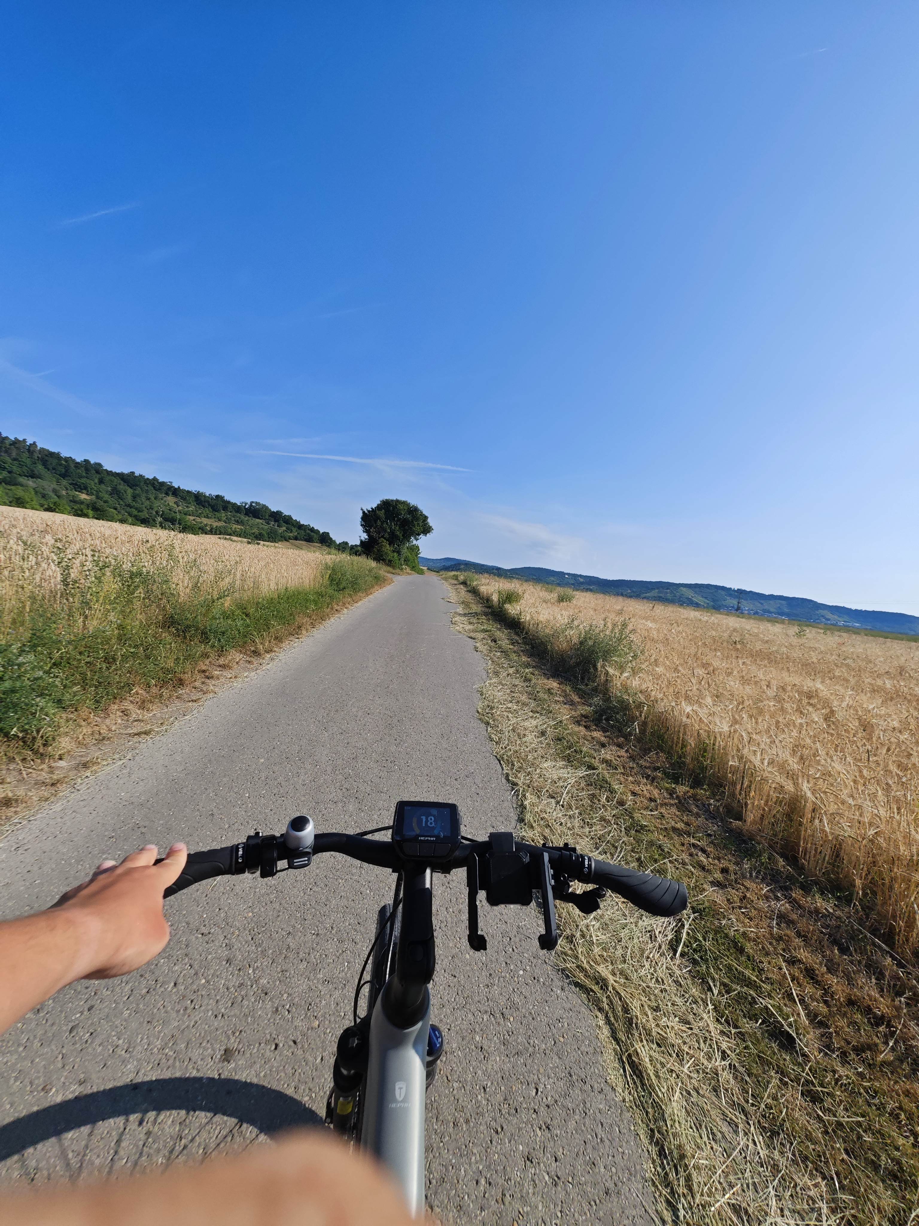
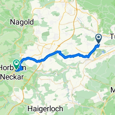
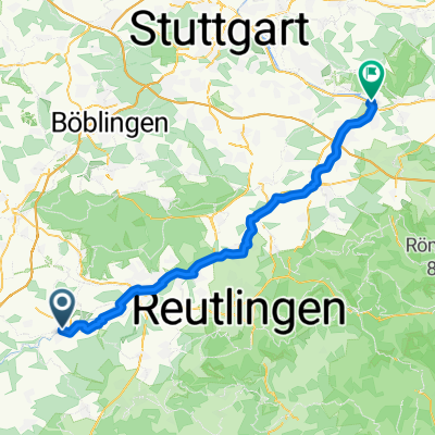
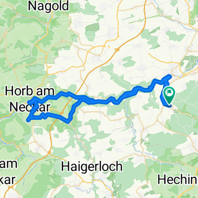
Zur Nagoldtalsperre
A cycling route starting in Rottenburg, Baden-Wurttemberg, Germany.
Overview
About this route
- Test round
- -:--
- Duration
- 104.5 km
- Distance
- 1,406 m
- Ascent
- 1,303 m
- Descent
- ---
- Avg. speed
- 755 m
- Max. altitude
Route quality
Waytypes & surfaces along the route
Waytypes
Road
29.3 km
(28 %)
Track
23 km
(22 %)
Surfaces
Paved
76.3 km
(73 %)
Unpaved
5.2 km
(5 %)
Asphalt
75.2 km
(72 %)
Gravel
2.1 km
(2 %)
Continue with Bikemap
Use, edit, or download this cycling route
You would like to ride Zur Nagoldtalsperre or customize it for your own trip? Here is what you can do with this Bikemap route:
Free features
- Save this route as favorite or in collections
- Copy & plan your own version of this route
- Split it into stages to create a multi-day tour
- Sync your route with Garmin or Wahoo
Premium features
Free trial for 3 days, or one-time payment. More about Bikemap Premium.
- Navigate this route on iOS & Android
- Export a GPX / KML file of this route
- Create your custom printout (try it for free)
- Download this route for offline navigation
Discover more Premium features.
Get Bikemap PremiumFrom our community
Other popular routes starting in Rottenburg
 Aiblestraße nach Sinsheimer Straße
- Distance
- 113.1 km
- Ascent
- 974 m
- Descent
- 1,151 m
- Location
- Rottenburg, Baden-Wurttemberg, Germany
 Zur Nagoldtalsperre
- Distance
- 104.5 km
- Ascent
- 1,406 m
- Descent
- 1,303 m
- Location
- Rottenburg, Baden-Wurttemberg, Germany
 Von Rottenburg am Neckar bis Horb am Neckar
- Distance
- 27.6 km
- Ascent
- 347 m
- Descent
- 260 m
- Location
- Rottenburg, Baden-Wurttemberg, Germany
 Kornbühlrunde
- Distance
- 88.8 km
- Ascent
- 986 m
- Descent
- 958 m
- Location
- Rottenburg, Baden-Wurttemberg, Germany
 Rottenburg-Plochingen
- Distance
- 55.9 km
- Ascent
- 198 m
- Descent
- 290 m
- Location
- Rottenburg, Baden-Wurttemberg, Germany
 Karfreitag 2020
- Distance
- 27.4 km
- Ascent
- 584 m
- Descent
- 583 m
- Location
- Rottenburg, Baden-Wurttemberg, Germany
 Neckarrunde
- Distance
- 45.3 km
- Ascent
- 283 m
- Descent
- 281 m
- Location
- Rottenburg, Baden-Wurttemberg, Germany
 Im Horber, Rottenburg am Neckar nach Eisengraben, Rottenburg am Neckar
- Distance
- 63.1 km
- Ascent
- 824 m
- Descent
- 820 m
- Location
- Rottenburg, Baden-Wurttemberg, Germany
Open it in the app