Napsugár út 2–2/4., Poroszló to Csapó köz 8., Poroszló
A cycling route starting in Poroszló, Heves County, Hungary.
Overview
About this route
- 3 h 5 min
- Duration
- 66.8 km
- Distance
- 243 m
- Ascent
- 247 m
- Descent
- 21.6 km/h
- Avg. speed
- ---
- Max. altitude
Continue with Bikemap
Use, edit, or download this cycling route
You would like to ride Napsugár út 2–2/4., Poroszló to Csapó köz 8., Poroszló or customize it for your own trip? Here is what you can do with this Bikemap route:
Free features
- Save this route as favorite or in collections
- Copy & plan your own version of this route
- Sync your route with Garmin or Wahoo
Premium features
Free trial for 3 days, or one-time payment. More about Bikemap Premium.
- Navigate this route on iOS & Android
- Export a GPX / KML file of this route
- Create your custom printout (try it for free)
- Download this route for offline navigation
Discover more Premium features.
Get Bikemap PremiumFrom our community
Other popular routes starting in Poroszló
- CUBE TISZA-TÓ KÖR 65KM 2014
- Distance
- 64.3 km
- Ascent
- 39 m
- Descent
- 40 m
- Location
- Poroszló, Heves County, Hungary
- Tisza-tó Maraton 2016 - 142 km
- Distance
- 142.3 km
- Ascent
- 15 m
- Descent
- 14 m
- Location
- Poroszló, Heves County, Hungary
- Tiszató Kupa (2 kör - 138 km)
- Distance
- 68.9 km
- Ascent
- 25 m
- Descent
- 29 m
- Location
- Poroszló, Heves County, Hungary
- Tisza-tó
- Distance
- 71.1 km
- Ascent
- 1,849 m
- Descent
- 1,849 m
- Location
- Poroszló, Heves County, Hungary
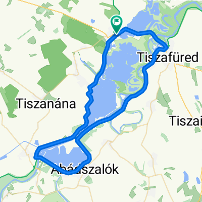
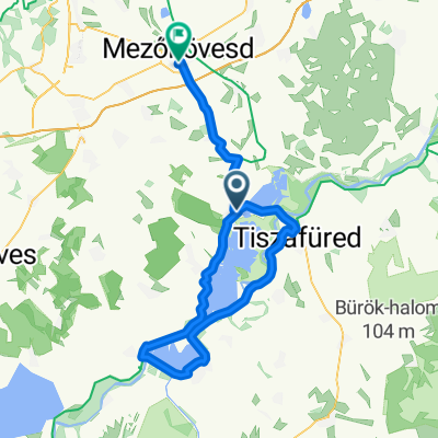
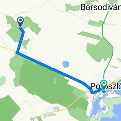
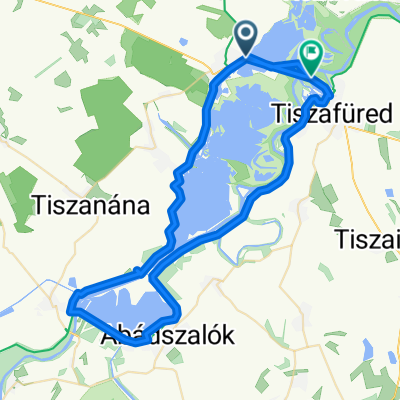
- Relaxed route in Újlőrincfalva
- Distance
- 5.8 km
- Ascent
- 0 m
- Descent
- 0 m
- Location
- Poroszló, Heves County, Hungary
- Tisza-tó felső rövid kör
- Distance
- 45 km
- Ascent
- 8 m
- Descent
- 9 m
- Location
- Poroszló, Heves County, Hungary
- Tisza tó projekt
- Distance
- 64.3 km
- Ascent
- 71 m
- Descent
- 71 m
- Location
- Poroszló, Heves County, Hungary
- Long ride through Poroszló
- Distance
- 65.5 km
- Ascent
- 48 m
- Descent
- 49 m
- Location
- Poroszló, Heves County, Hungary
Open it in the app