

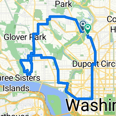
Mt. Vernon Trail
A cycling route starting in Washington D.C., District of Columbia, United States.
Overview
About this route
Between northern trailhead near Key Bridge and W&OD (actually Four Mile Run). Route currently adjusted for Humpback Bridge construction.
Water can be found across the parkway at Columbia Island Marina. Crossing the parkway is dangerous as traffic frequently exceeds speed limits.
- -:--
- Duration
- 8.2 km
- Distance
- 40 m
- Ascent
- 53 m
- Descent
- ---
- Avg. speed
- ---
- Max. altitude

Continue with Bikemap
Use, edit, or download this cycling route
You would like to ride Mt. Vernon Trail or customize it for your own trip? Here is what you can do with this Bikemap route:
Free features
- Save this route as favorite or in collections
- Copy & plan your own version of this route
- Sync your route with Garmin or Wahoo
Premium features
Free trial for 3 days, or one-time payment. More about Bikemap Premium.
- Navigate this route on iOS & Android
- Export a GPX / KML file of this route
- Create your custom printout (try it for free)
- Download this route for offline navigation
Discover more Premium features.
Get Bikemap PremiumFrom our community
Other popular routes starting in Washington D.C.
 Day out from Palomar Hotel
- Distance
- 137.8 km
- Ascent
- 442 m
- Descent
- 442 m
- Location
- Washington D.C., District of Columbia, United States
 Capital Crescent Trail
- Distance
- 32.1 km
- Ascent
- 227 m
- Descent
- 223 m
- Location
- Washington D.C., District of Columbia, United States
 Calvert St NW & Duke Ellington Bridge to Calvert St NW & Duke Ellington Bridge
- Distance
- 14 km
- Ascent
- 192 m
- Descent
- 192 m
- Location
- Washington D.C., District of Columbia, United States
 Washington to Orlando
- Distance
- 1,743.4 km
- Ascent
- 389 m
- Descent
- 343 m
- Location
- Washington D.C., District of Columbia, United States
 Rock Creek Trail, Washington to Rock Creek Trail, Washington
- Distance
- 31.7 km
- Ascent
- 200 m
- Descent
- 196 m
- Location
- Washington D.C., District of Columbia, United States
 Moms NY Ave
- Distance
- 3.6 km
- Ascent
- 20 m
- Descent
- 4 m
- Location
- Washington D.C., District of Columbia, United States
 USA Trip - Tag 15
- Distance
- 448.3 km
- Ascent
- 350 m
- Descent
- 373 m
- Location
- Washington D.C., District of Columbia, United States
 Mount Vernon Trail
- Distance
- 29 km
- Ascent
- 161 m
- Descent
- 151 m
- Location
- Washington D.C., District of Columbia, United States
Open it in the app