

Maintal und Steigerwald westlich von Zeil
A cycling route starting in Zeil, Bavaria, Germany.
Overview
About this route
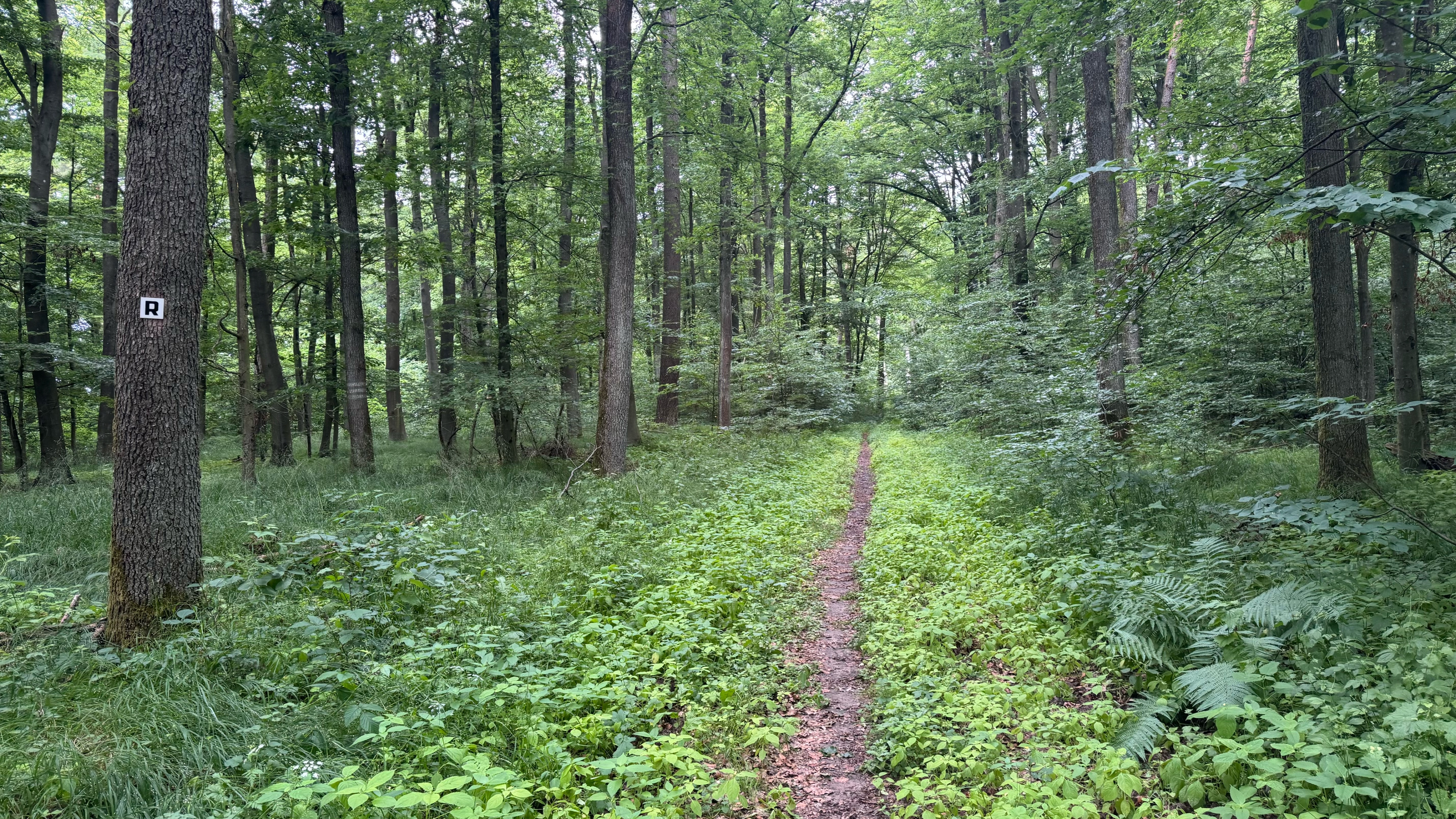
The route leads along bike paths from Zeil over Sand to Knetzgau. From there, on low-traffic country roads into the foothills of the Steigerwald, past the Zabelstein. Localities: Westheim, Ober-, Unterschwappach, Dampfach, Pusselsheim, Ober-, Untereuerheim. Then, just before Weyer, we cross the Main towards Gädheim (B26). From there, on the Main bike path, we return to Zeil via Haßfurt.
- -:--
- Duration
- 47.4 km
- Distance
- 178 m
- Ascent
- 178 m
- Descent
- ---
- Avg. speed
- ---
- Max. altitude

Continue with Bikemap
Use, edit, or download this cycling route
You would like to ride Maintal und Steigerwald westlich von Zeil or customize it for your own trip? Here is what you can do with this Bikemap route:
Free features
- Save this route as favorite or in collections
- Copy & plan your own version of this route
- Sync your route with Garmin or Wahoo
Premium features
Free trial for 3 days, or one-time payment. More about Bikemap Premium.
- Navigate this route on iOS & Android
- Export a GPX / KML file of this route
- Create your custom printout (try it for free)
- Download this route for offline navigation
Discover more Premium features.
Get Bikemap PremiumFrom our community
Other popular routes starting in Zeil
 Zeil - Oberschwappach
- Distance
- 36.6 km
- Ascent
- 151 m
- Descent
- 156 m
- Location
- Zeil, Bavaria, Germany
 Steinbrecher Weg
- Distance
- 24.6 km
- Ascent
- 407 m
- Descent
- 405 m
- Location
- Zeil, Bavaria, Germany
 Rennweg Etappe 2 - Dornbusch-Sulzfeld
- Distance
- 80 km
- Ascent
- 1,059 m
- Descent
- 1,049 m
- Location
- Zeil, Bavaria, Germany
 Zeil - Sand - Fatschenbrunn - Zeil
- Distance
- 32.9 km
- Ascent
- 474 m
- Descent
- 473 m
- Location
- Zeil, Bavaria, Germany
 Maintal und Steigerwald westlich von Zeil
- Distance
- 47.4 km
- Ascent
- 178 m
- Descent
- 178 m
- Location
- Zeil, Bavaria, Germany
 Zeil Königsb 10 Hofh 9 Mechenried 7 Haßfurt 11 Zeil 8
- Distance
- 46 km
- Ascent
- 236 m
- Descent
- 236 m
- Location
- Zeil, Bavaria, Germany
 Egelsbach-Zeil-Sand-Limbach-Eltmann-Egelsbach
- Distance
- 18.1 km
- Ascent
- 62 m
- Descent
- 78 m
- Location
- Zeil, Bavaria, Germany
 Zeil ObSchwappach 13 Zell 7 Obschleichach 6 Tretzendorf 5 Eltmann 7
- Distance
- 48.9 km
- Ascent
- 288 m
- Descent
- 293 m
- Location
- Zeil, Bavaria, Germany
Open it in the app