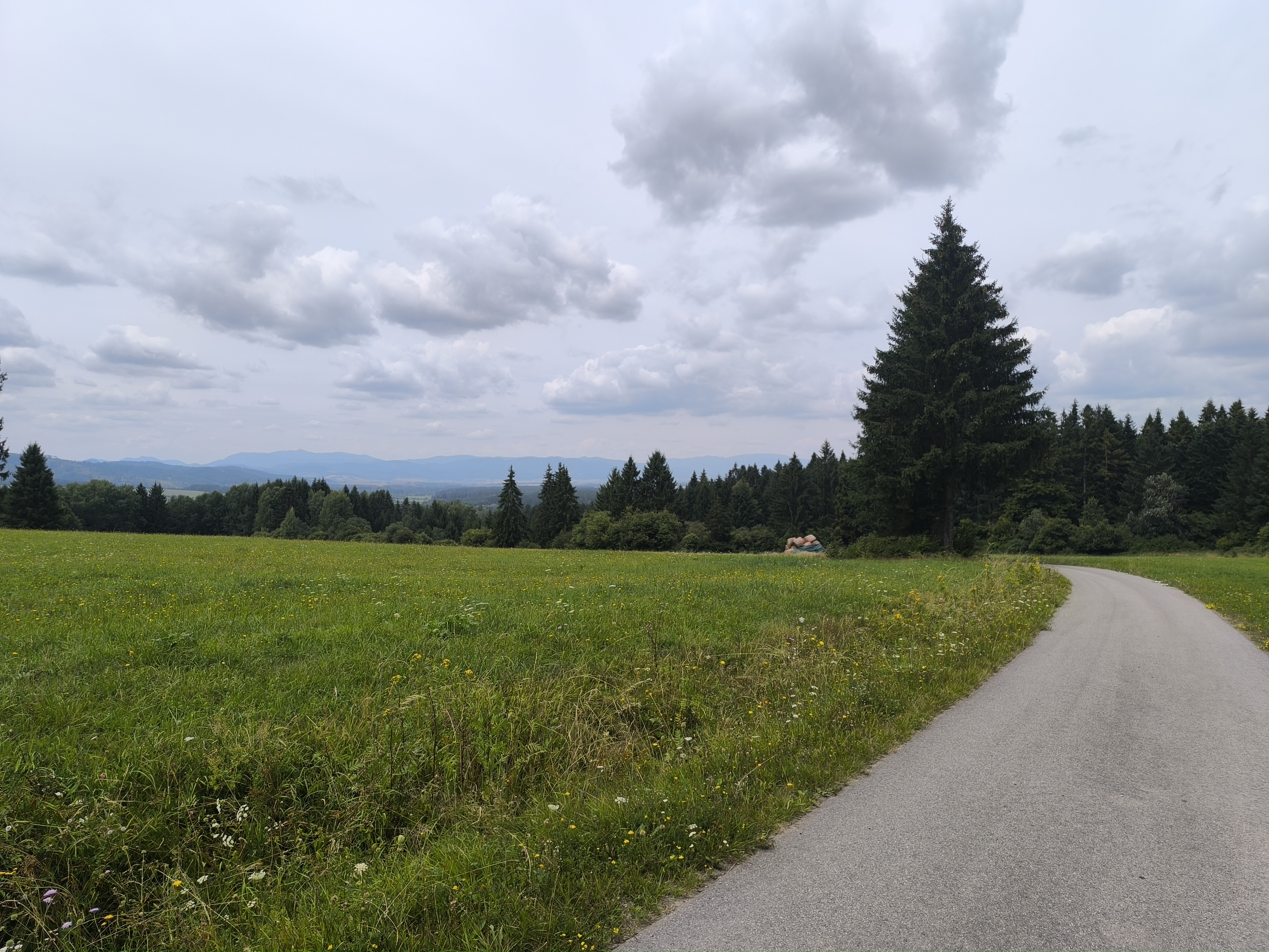
Z Handlovej lesnou cestou do reštaurácie Púšť pri Prievidzi
- 32.8 km
- 1,926 m
- 1,923 m
- Handlová, Nitra Region, Slovakia
A cycling route starting in Handlová, Nitra Region, Slovakia.
Overview
May 5 to May 10, 2011
Turčianské Teplice - Margecany
created this 5 years ago
Route quality
Track
54.8 km
(21 %)
Road
47 km
(18 %)
Paved
146.2 km
(56 %)
Unpaved
15.7 km
(6 %)
Asphalt
127.9 km
(49 %)
Paved (undefined)
18.3 km
(7 %)
Route highlights
pivo a borovička
maso + pivo
snídaně - rohlíky, ty padly do zmrzlých rukou
pivo + káva
Oběd
nocleh + ohniště
Xindl - výměna destičcek
Sraz na Balogu
chleba se sádlem a cibulí + pivo
pivo + výborné brynzové halušky - spravil pan majitel
Hostinec pri Furmanci - úkryt před deštěm a na ohřátí čaj s rumem
Večerní somrování piva
Spaní u teho onýho...Inriho
snídaně
pivo
pivo
Oběd
čekání na vlak
Continue with Bikemap
You would like to ride 2011 - Přejezd slovenských hor or customize it for your own trip? Here is what you can do with this Bikemap route:
Free trial for 3 days, or one-time payment. More about Bikemap Premium.
Discover more Premium features.
Get Bikemap PremiumFrom our community
Open it in the app