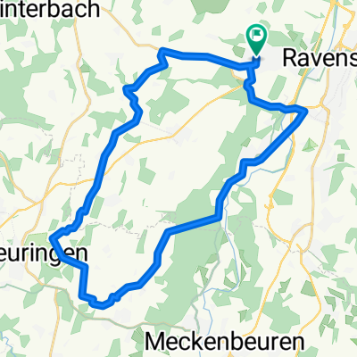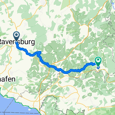
Ravensburg bis Isny
- 48.9 km
- 892 m
- 640 m
- Ravensburg, Baden-Wurttemberg, Germany
A cycling route starting in Ravensburg, Baden-Wurttemberg, Germany.
Overview
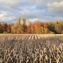
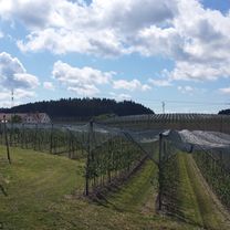
Evening ride with elevation and beautiful views. First we pass by Flapbachweiher and then very steeply uphill over a bumpy path towards Grünkraut. Then only on paved roads. Noteworthy is the view from the church in Bodnegg. Then through Rosenharz and further through Gornhofen with its great dining options at Gut Hügle or Löwen. Back to Ravensburg through Untereschach.
created this 5 years ago


Route quality
Quiet road
20.7 km
(67 %)
Path
3.7 km
(12 %)
Paved
29.3 km
(95 %)
Unpaved
0.3 km
(1 %)
Asphalt
29.3 km
(95 %)
Gravel
0.3 km
(1 %)
Undefined
1.2 km
(4 %)
Continue with Bikemap
You would like to ride Ravensburg - Gruenkraut - Bodnegg - Runde or customize it for your own trip? Here is what you can do with this Bikemap route:
Free trial for 3 days, or one-time payment. More about Bikemap Premium.
Discover more Premium features.
Get Bikemap PremiumFrom our community
Open it in the app