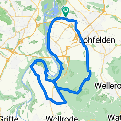
Pra.Bergsh.Dörnhagen.Fuldacafé.Crumbach.Pra
- 28.9 km
- 419 m
- 416 m
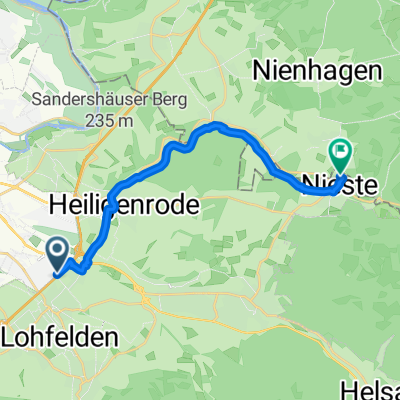
- Lohfelden, Hesse, Germany
A cycling route starting in Lohfelden, Hesse, Germany.
Overview
created this 5 years ago
Route quality
Path
7.4 km
(37 %)
Quiet road
6 km
(30 %)
Paved
9.4 km
(47 %)
Unpaved
7.6 km
(38 %)
Asphalt
9.4 km
(47 %)
Loose gravel
6 km
(30 %)
Continue with Bikemap
You would like to ride Wellerode - Kassel or customize it for your own trip? Here is what you can do with this Bikemap route:
Free trial for 3 days, or one-time payment. More about Bikemap Premium.
Discover more Premium features.
Get Bikemap PremiumFrom our community
Open it in the app