
La Tuillière-Malbo-15117-Utagawa
A cycling route starting in Vic-sur-Cère, Auvergne-Rhône-Alpes, France.
Overview
About this route
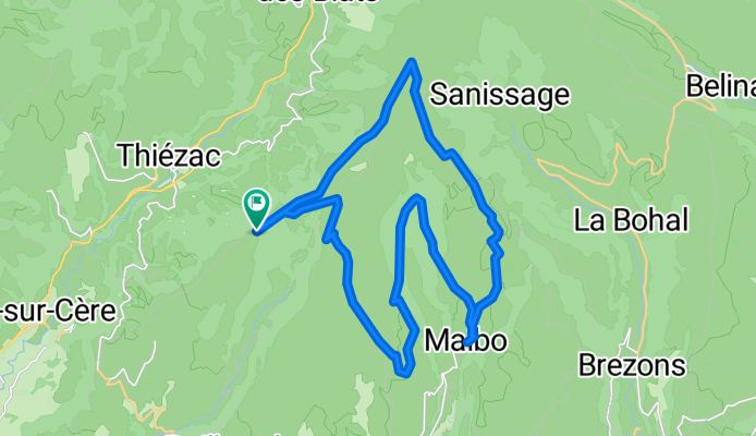
Magnificent view of the Cantal mountains and a very beautiful descent to the finish. The advantage of this circuit is that it combines the two types of mountains in the Cantal: - Flat mountains (high plateaus) - The true medium mountains sculpted as in the photo
- -:--
- Duration
- 30.2 km
- Distance
- 952 m
- Ascent
- 951 m
- Descent
- ---
- Avg. speed
- ---
- Max. altitude

Continue with Bikemap
Use, edit, or download this cycling route
You would like to ride La Tuillière-Malbo-15117-Utagawa or customize it for your own trip? Here is what you can do with this Bikemap route:
Free features
- Save this route as favorite or in collections
- Copy & plan your own version of this route
- Sync your route with Garmin or Wahoo
Premium features
Free trial for 3 days, or one-time payment. More about Bikemap Premium.
- Navigate this route on iOS & Android
- Export a GPX / KML file of this route
- Create your custom printout (try it for free)
- Download this route for offline navigation
Discover more Premium features.
Get Bikemap PremiumFrom our community
Other popular routes starting in Vic-sur-Cère
 5.etapa Saint-Cirgues-De-Jordanne - Coursavy
- Distance
- 97.7 km
- Ascent
- 856 m
- Descent
- 1,518 m
- Location
- Vic-sur-Cère, Auvergne-Rhône-Alpes, France
 Plomb du Cantal- 6925 -Utagawa
- Distance
- 33.3 km
- Ascent
- 1,402 m
- Descent
- 1,404 m
- Location
- Vic-sur-Cère, Auvergne-Rhône-Alpes, France
 F64A-2019 Zentralmassiv-SaintJacquesdesBlats-MandaillesSaintJulien-SaintGeorges-Salers-Mandailles-SaintJacquesdesBlats
- Distance
- 95.7 km
- Ascent
- 1,966 m
- Descent
- 1,954 m
- Location
- Vic-sur-Cère, Auvergne-Rhône-Alpes, France
 Puy Mary, Auvergne
- Distance
- 137.8 km
- Ascent
- 1,825 m
- Descent
- 1,814 m
- Location
- Vic-sur-Cère, Auvergne-Rhône-Alpes, France
 étape 3
- Distance
- 86.5 km
- Ascent
- 806 m
- Descent
- 1,237 m
- Location
- Vic-sur-Cère, Auvergne-Rhône-Alpes, France
 Vic sur cere
- Distance
- 104.7 km
- Ascent
- 1,491 m
- Descent
- 1,483 m
- Location
- Vic-sur-Cère, Auvergne-Rhône-Alpes, France
 Ayeron Lot kurz
- Distance
- 504.3 km
- Ascent
- 1,724 m
- Descent
- 1,705 m
- Location
- Vic-sur-Cère, Auvergne-Rhône-Alpes, France
 Mandailles-Saint-Julien - Salers
- Distance
- 43.1 km
- Ascent
- 776 m
- Descent
- 752 m
- Location
- Vic-sur-Cère, Auvergne-Rhône-Alpes, France
Open it in the app