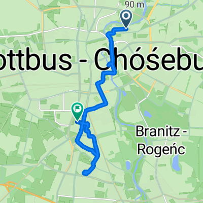
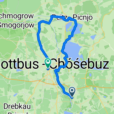
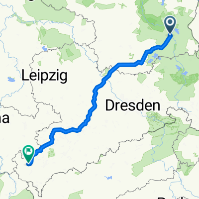
Gurken-Radweg östlicher Oberspreewald
A cycling route starting in Cottbus, Brandenburg, Germany.
Overview
About this route
- -:--
- Duration
- 63.2 km
- Distance
- 47 m
- Ascent
- 48 m
- Descent
- ---
- Avg. speed
- ---
- Avg. speed
Route quality
Waytypes & surfaces along the route
Waytypes
Path
33.6 km
(53 %)
Quiet road
11.1 km
(18 %)
Surfaces
Paved
55.6 km
(88 %)
Unpaved
5.4 km
(9 %)
Asphalt
49 km
(78 %)
Paving stones
4.8 km
(8 %)
Continue with Bikemap
Use, edit, or download this cycling route
You would like to ride Gurken-Radweg östlicher Oberspreewald or customize it for your own trip? Here is what you can do with this Bikemap route:
Free features
- Save this route as favorite or in collections
- Copy & plan your own version of this route
- Sync your route with Garmin or Wahoo
Premium features
Free trial for 3 days, or one-time payment. More about Bikemap Premium.
- Navigate this route on iOS & Android
- Export a GPX / KML file of this route
- Create your custom printout (try it for free)
- Download this route for offline navigation
Discover more Premium features.
Get Bikemap PremiumFrom our community
Other popular routes starting in Cottbus
- Fahren nach Zahlen: im Süden um Cottbus
- Distance
- 40.7 km
- Ascent
- 182 m
- Descent
- 184 m
- Location
- Cottbus, Brandenburg, Germany
- Ostsee Rundweg
- Distance
- 34.1 km
- Ascent
- 69 m
- Descent
- 70 m
- Location
- Cottbus, Brandenburg, Germany
- Straubitz Mühle
- Distance
- 69.4 km
- Ascent
- 55 m
- Descent
- 14 m
- Location
- Cottbus, Brandenburg, Germany
- BRT2013-FR: Teichland - Tour - RTF der RSV Peitz e.V. + Teichlandradler e.V. beim BRT2013 in Cottbus - 75 km Strecke
- Distance
- 74.1 km
- Ascent
- 95 m
- Descent
- 96 m
- Location
- Cottbus, Brandenburg, Germany
- Zum Ostsee
- Distance
- 25.7 km
- Ascent
- 25 m
- Descent
- 11 m
- Location
- Cottbus, Brandenburg, Germany
- BRT2013-MI: Tour de Spreewald - RTF der Radsportclub Cottbus e.V. - Veloteam beim BRT2013 in Cottbus - 115 km Strecke
- Distance
- 118.6 km
- Ascent
- 86 m
- Descent
- 87 m
- Location
- Cottbus, Brandenburg, Germany
- Cottbus - Talsperre Spremberg (Umrundung) - Cottbus
- Distance
- 50.6 km
- Ascent
- 134 m
- Descent
- 133 m
- Location
- Cottbus, Brandenburg, Germany
- spree
- Distance
- 33.3 km
- Ascent
- 31 m
- Descent
- 50 m
- Location
- Cottbus, Brandenburg, Germany
Open it in the app