

Sulzdorf - Weckrieden - Tüngental - Sulzdorf
A cycling route starting in Vellberg, Baden-Württemberg, Germany.
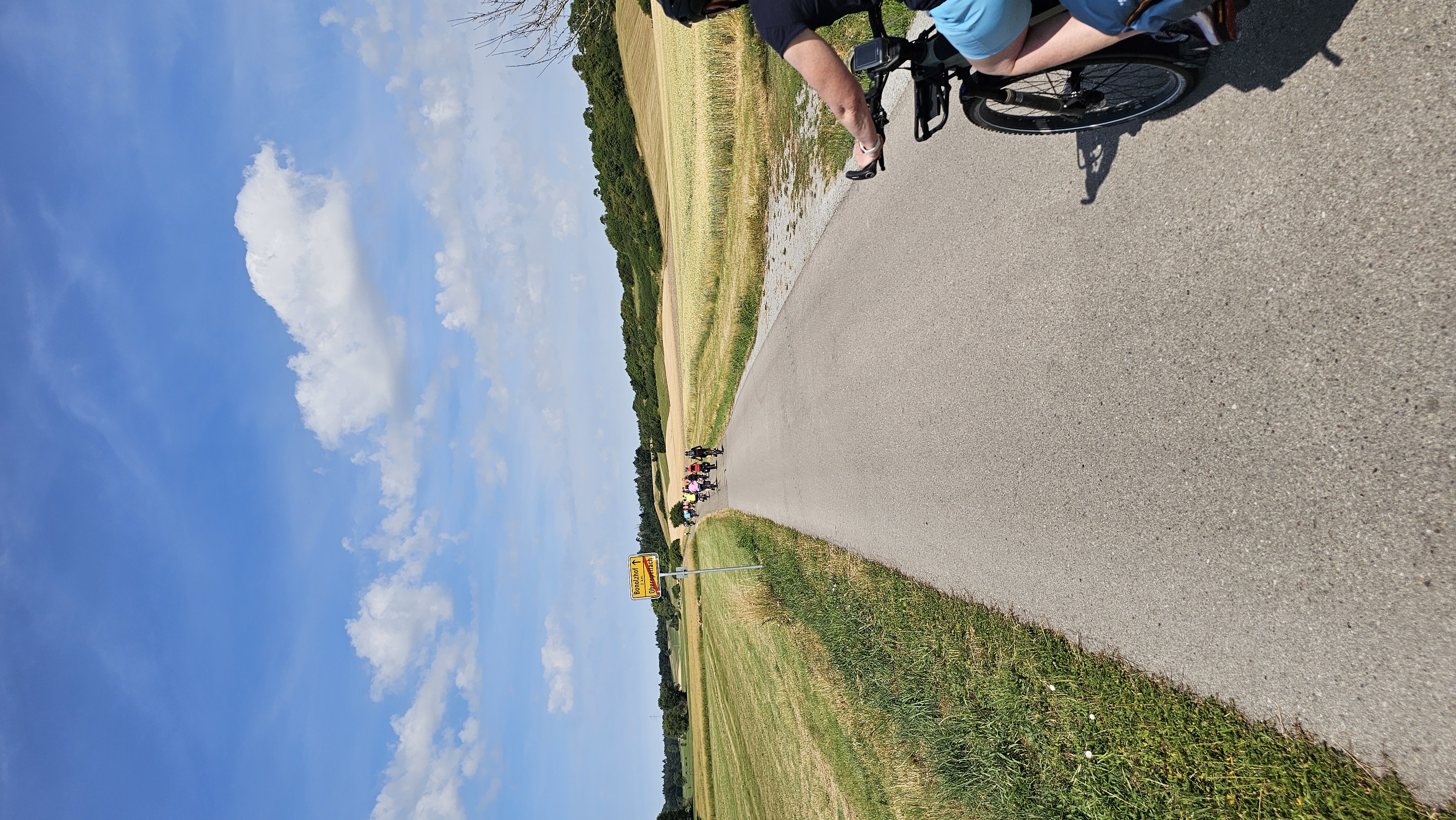
Overview
About this route
- -:--
- Duration
- 19.4 km
- Distance
- 84 m
- Ascent
- 90 m
- Descent
- ---
- Avg. speed
- ---
- Max. altitude
Route quality
Waytypes & surfaces along the route
Waytypes
Road
8.2 km
(42 %)
Track
3.9 km
(20 %)
Surfaces
Paved
7.5 km
(38 %)
Asphalt
5.6 km
(29 %)
Paved (undefined)
1.8 km
(9 %)
Undefined
11.9 km
(62 %)
Continue with Bikemap
Use, edit, or download this cycling route
You would like to ride Sulzdorf - Weckrieden - Tüngental - Sulzdorf or customize it for your own trip? Here is what you can do with this Bikemap route:
Free features
- Save this route as favorite or in collections
- Copy & plan your own version of this route
- Sync your route with Garmin or Wahoo
Premium features
Free trial for 3 days, or one-time payment. More about Bikemap Premium.
- Navigate this route on iOS & Android
- Export a GPX / KML file of this route
- Create your custom printout (try it for free)
- Download this route for offline navigation
Discover more Premium features.
Get Bikemap PremiumFrom our community
Other popular routes starting in Vellberg
 30 Km Sonntagstour
- Distance
- 31.4 km
- Ascent
- 199 m
- Descent
- 198 m
- Location
- Vellberg, Baden-Württemberg, Germany
 Eschenau - Einkorn
- Distance
- 11.1 km
- Ascent
- 221 m
- Descent
- 72 m
- Location
- Vellberg, Baden-Württemberg, Germany
 Hausrunde
- Distance
- 41.6 km
- Ascent
- 260 m
- Descent
- 260 m
- Location
- Vellberg, Baden-Württemberg, Germany
 Vellberg-Ummenhofen-Spaichbühl-Talheim-Vellebrg
- Distance
- 24.7 km
- Ascent
- 389 m
- Descent
- 386 m
- Location
- Vellberg, Baden-Württemberg, Germany
 Runderweg um Vellberg
- Distance
- 253.9 km
- Ascent
- 734 m
- Descent
- 691 m
- Location
- Vellberg, Baden-Württemberg, Germany
 Zum Einfahren
- Distance
- 25.4 km
- Ascent
- 143 m
- Descent
- 140 m
- Location
- Vellberg, Baden-Württemberg, Germany
 Burgmehlstraße 39, Obersontheim nach Burgmehlstraße 39, Obersontheim
- Distance
- 14.5 km
- Ascent
- 267 m
- Descent
- 271 m
- Location
- Vellberg, Baden-Württemberg, Germany
 Hauptstraße nach Veilchenweg
- Distance
- 72.3 km
- Ascent
- 834 m
- Descent
- 799 m
- Location
- Vellberg, Baden-Württemberg, Germany
Open it in the app