

Exploring the Construction Site of New Highway R7
A cycling route starting in Gabčíkovo, Trnava Region, Slovakia.
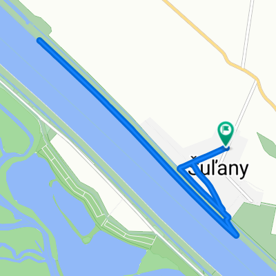
Overview
About this route
I recommend to use gravel or cyclocross bike.
- -:--
- Duration
- 54.4 km
- Distance
- 17 m
- Ascent
- 19 m
- Descent
- ---
- Avg. speed
- ---
- Max. altitude

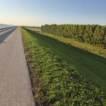
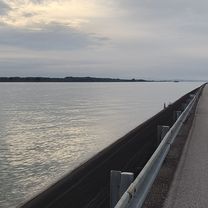
Route photos


Continue with Bikemap
Use, edit, or download this cycling route
You would like to ride Exploring the Construction Site of New Highway R7 or customize it for your own trip? Here is what you can do with this Bikemap route:
Free features
- Save this route as favorite or in collections
- Copy & plan your own version of this route
- Sync your route with Garmin or Wahoo
Premium features
Free trial for 3 days, or one-time payment. More about Bikemap Premium.
- Navigate this route on iOS & Android
- Export a GPX / KML file of this route
- Create your custom printout (try it for free)
- Download this route for offline navigation
Discover more Premium features.
Get Bikemap PremiumFrom our community
Other popular routes starting in Gabčíkovo
 Baka - Baka
- Distance
- 33.6 km
- Ascent
- 21 m
- Descent
- 71 m
- Location
- Gabčíkovo, Trnava Region, Slovakia
 Šuľany, Horný Bar až Šuľany, Horný Bar
- Distance
- 8.6 km
- Ascent
- 19 m
- Descent
- 16 m
- Location
- Gabčíkovo, Trnava Region, Slovakia
 Gabčíkovo -Komarno&(Komárom)-Sturovo (Green Pub 🍀)
- Distance
- 118.3 km
- Ascent
- 215 m
- Descent
- 222 m
- Location
- Gabčíkovo, Trnava Region, Slovakia
 Baka - Baka
- Distance
- 31.9 km
- Ascent
- 34 m
- Descent
- 80 m
- Location
- Gabčíkovo, Trnava Region, Slovakia
 Exploring the Construction Site of New Highway R7
- Distance
- 54.4 km
- Ascent
- 17 m
- Descent
- 19 m
- Location
- Gabčíkovo, Trnava Region, Slovakia
 Narad - Patince Alt Road
- Distance
- 74.2 km
- Ascent
- 19 m
- Descent
- 22 m
- Location
- Gabčíkovo, Trnava Region, Slovakia
 Gabčíkovo_Komárno
- Distance
- 50.9 km
- Ascent
- 25 m
- Descent
- 27 m
- Location
- Gabčíkovo, Trnava Region, Slovakia
 Bős-Lipót-Bős
- Distance
- 98.9 km
- Ascent
- 15 m
- Descent
- 24 m
- Location
- Gabčíkovo, Trnava Region, Slovakia
Open it in the app