

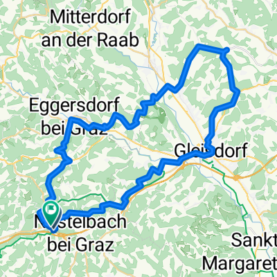
Laßnitzhöhe-Graz Etappe 8
A cycling route starting in Nestelbach bei Graz, Styria, Austria.
Overview
About this route
- -:--
- Duration
- 16.5 km
- Distance
- 112 m
- Ascent
- 232 m
- Descent
- ---
- Avg. speed
- ---
- Max. altitude

Route quality
Waytypes & surfaces along the route
Waytypes
Quiet road
7.7 km
(47 %)
Cycleway
3.6 km
(22 %)
Surfaces
Paved
16.3 km
(99 %)
Asphalt
16.1 km
(98 %)
Paved (undefined)
0.2 km
(1 %)
Undefined
0.2 km
(1 %)
Continue with Bikemap
Use, edit, or download this cycling route
You would like to ride Laßnitzhöhe-Graz Etappe 8 or customize it for your own trip? Here is what you can do with this Bikemap route:
Free features
- Save this route as favorite or in collections
- Copy & plan your own version of this route
- Sync your route with Garmin or Wahoo
Premium features
Free trial for 3 days, or one-time payment. More about Bikemap Premium.
- Navigate this route on iOS & Android
- Export a GPX / KML file of this route
- Create your custom printout (try it for free)
- Download this route for offline navigation
Discover more Premium features.
Get Bikemap PremiumFrom our community
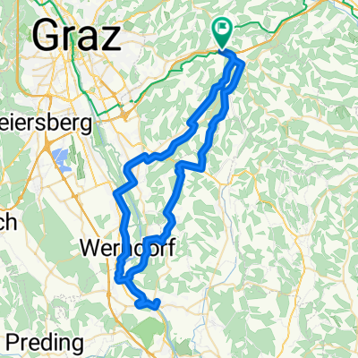
Other popular routes starting in Nestelbach bei Graz
 Moggau, Laßnitzhöhe nach Moggau, Laßnitzhöhe
- Distance
- 47.1 km
- Ascent
- 1,002 m
- Descent
- 1,002 m
- Location
- Nestelbach bei Graz, Styria, Austria
 Wildon Fernitz
- Distance
- 62.5 km
- Ascent
- 781 m
- Descent
- 779 m
- Location
- Nestelbach bei Graz, Styria, Austria
 Laßnitzhöhe-Graz Etappe 8
- Distance
- 16.5 km
- Ascent
- 112 m
- Descent
- 232 m
- Location
- Nestelbach bei Graz, Styria, Austria
 Schemerlhöhe - Schloßplatz
- Distance
- 83.2 km
- Ascent
- 750 m
- Descent
- 1,005 m
- Location
- Nestelbach bei Graz, Styria, Austria
 Hauptstraße, Laßnitzhöhe nach Hauptstraße, Laßnitzhöhe
- Distance
- 24.4 km
- Ascent
- 573 m
- Descent
- 577 m
- Location
- Nestelbach bei Graz, Styria, Austria
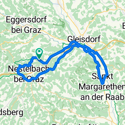 Lanitzthal - St. Margarethen - Laßnitzhöhe
- Distance
- 40.4 km
- Ascent
- 256 m
- Descent
- 256 m
- Location
- Nestelbach bei Graz, Styria, Austria
 ¿èûÌ? nach ¿èûÌ?
- Distance
- 56.4 km
- Ascent
- 753 m
- Descent
- 706 m
- Location
- Nestelbach bei Graz, Styria, Austria
 Hauptstraße, Laßnitzhöhe nach Wetterkreuzweg, Eggersdorf
- Distance
- 20.6 km
- Ascent
- 358 m
- Descent
- 352 m
- Location
- Nestelbach bei Graz, Styria, Austria
Open it in the app