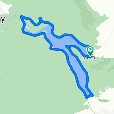
Lázbérci-víztározó körtúra
- 9.4 km
- 210 m
- 212 m
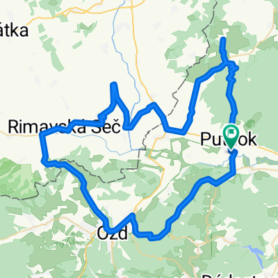
- Putnok, Borsod-Abauj Zemplen county, Hungary
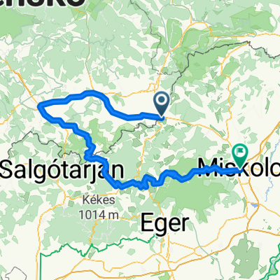
Aggtelekig meg sem állunk
A cycling route starting in Putnok, Borsod-Abauj Zemplen county, Hungary.
Overview
created this 5 years ago
Part of
7 stages
Route quality
Road
2.7 km
(12 %)
Quiet road
0.4 km
(2 %)
Undefined
19.2 km
(86 %)
Paved
12.3 km
(55 %)
Asphalt
12.3 km
(55 %)
Undefined
10.1 km
(45 %)
Route highlights
Induláskor hívni Tarcali Krisztát a 30/ 686-1202 (Kelemér Tompa Mihály emlékházat és a kopjafás templomot ő mutatja be)
Tompa Mihály emlékház, kopjafás templom
Játszótér, pihenőhely talán itt
Continue with Bikemap
You would like to ride Aggtelek 4. or customize it for your own trip? Here is what you can do with this Bikemap route:
Free trial for 3 days, or one-time payment. More about Bikemap Premium.
Discover more Premium features.
Get Bikemap PremiumFrom our community
Open it in the app