

Track 8 Pirineus Backroads 2020
A cycling route starting in Castejón de Sos, Aragon, Spain.
Overview
About this route
Castejón de Sos - Montanuy - Vilaller - El Pont de Suert - Viu de Llevata - Port de la Creu de Perves - Senterada - La Pobleta de Bellvei - Montcortés - Sort
- -:--
- Duration
- 93.4 km
- Distance
- 2,263 m
- Ascent
- 2,485 m
- Descent
- ---
- Avg. speed
- ---
- Max. altitude

Route quality
Waytypes & surfaces along the route
Waytypes
Cycleway
26.2 km
(28 %)
Quiet road
19.6 km
(21 %)
Surfaces
Paved
50.4 km
(54 %)
Unpaved
0.9 km
(1 %)
Asphalt
50.4 km
(54 %)
Ground
0.9 km
(1 %)
Undefined
42 km
(45 %)
Continue with Bikemap
Use, edit, or download this cycling route
You would like to ride Track 8 Pirineus Backroads 2020 or customize it for your own trip? Here is what you can do with this Bikemap route:
Free features
- Save this route as favorite or in collections
- Copy & plan your own version of this route
- Split it into stages to create a multi-day tour
- Sync your route with Garmin or Wahoo
Premium features
Free trial for 3 days, or one-time payment. More about Bikemap Premium.
- Navigate this route on iOS & Android
- Export a GPX / KML file of this route
- Create your custom printout (try it for free)
- Download this route for offline navigation
Discover more Premium features.
Get Bikemap PremiumFrom our community
Other popular routes starting in Castejón de Sos
 TRANSPIRENAICA 2002 Etap 4-Castejon-Seo Urgell 2/07/2002
- Distance
- 160.5 km
- Ascent
- 2,740 m
- Descent
- 2,998 m
- Location
- Castejón de Sos, Aragon, Spain
 Track 8 Pirineus Backroads 2020
- Distance
- 93.4 km
- Ascent
- 2,263 m
- Descent
- 2,485 m
- Location
- Castejón de Sos, Aragon, Spain
 Vuelta al Turbon
- Distance
- 90.2 km
- Ascent
- 1,980 m
- Descent
- 2,007 m
- Location
- Castejón de Sos, Aragon, Spain
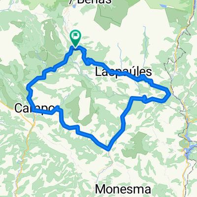
 Plan - Laspaúles
- Distance
- 35.6 km
- Ascent
- 816 m
- Descent
- 864 m
- Location
- Castejón de Sos, Aragon, Spain
 ETAPA 10 TRANSPIRENAICA CON ALFORJAS
- Distance
- 57.7 km
- Ascent
- 1,326 m
- Descent
- 1,628 m
- Location
- Castejón de Sos, Aragon, Spain
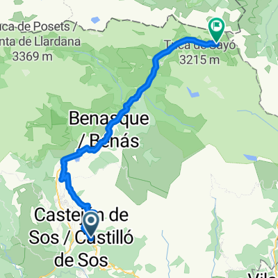
 PUERTO DE SAHÚN (por Chía)
- Distance
- 16.3 km
- Ascent
- 1,303 m
- Descent
- 199 m
- Location
- Castejón de Sos, Aragon, Spain
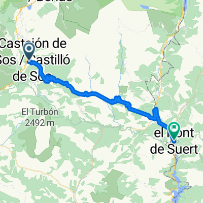
 From Castejón de Sos to Benasque
- Distance
- 36.4 km
- Ascent
- 1,739 m
- Descent
- 802 m
- Location
- Castejón de Sos, Aragon, Spain
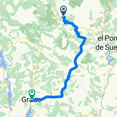 From Castejón de Sos to Graus
- Distance
- 68.6 km
- Ascent
- 1,474 m
- Descent
- 1,985 m
- Location
- Castejón de Sos, Aragon, Spain
Open it in the app