Ettlingen-Weingarten-PBurg
- 49.9 km
- 170 m
- 253 m
- Ettlingen, Baden-Wurttemberg, Germany
A cycling route starting in Ettlingen, Baden-Wurttemberg, Germany.
Overview
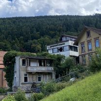
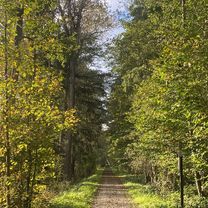
beautiful route in the green. The evil mountains are the ascent from Eyachmühle to Dobel and the Teufelsmühle.
The path from Dobel to Plötzsägmühle is completely paved and starts at the sports field.
Route quality
Track
24.5 km
(19 %)
Quiet road
21.9 km
(17 %)
Paved
107.1 km
(83 %)
Unpaved
14.2 km
(11 %)
Asphalt
99.4 km
(77 %)
Gravel
10.3 km
(8 %)
Continue with Bikemap
You would like to ride Ettlingen -> Hohloh -> Dobel -> Teufelsmühle -> Ettlingen or customize it for your own trip? Here is what you can do with this Bikemap route:
Free trial for 3 days, or one-time payment. More about Bikemap Premium.
Discover more Premium features.
Get Bikemap PremiumFrom our community
Open it in the app