

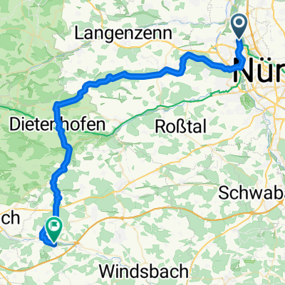
Rundweg über Unterfarrnbach, Oberasbach, nach Hause
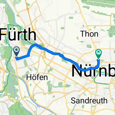
A cycling route starting in Fürth, Bavaria, Germany.
Overview
About this route
- -:--
- Duration
- 39 km
- Distance
- 412 m
- Ascent
- 412 m
- Descent
- ---
- Avg. speed
- ---
- Max. altitude

Continue with Bikemap
Use, edit, or download this cycling route
You would like to ride Rundweg über Unterfarrnbach, Oberasbach, nach Hause or customize it for your own trip? Here is what you can do with this Bikemap route:
Free features
- Save this route as favorite or in collections
- Copy & plan your own version of this route
- Sync your route with Garmin or Wahoo
Premium features
Free trial for 3 days, or one-time payment. More about Bikemap Premium.
- Navigate this route on iOS & Android
- Export a GPX / KML file of this route
- Create your custom printout (try it for free)
- Download this route for offline navigation
Discover more Premium features.
Get Bikemap PremiumFrom our community
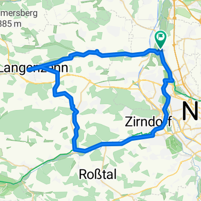
Other popular routes starting in Fürth
 Von Fürth bis Lichtenau 51 Km
- Distance
- 52.4 km
- Ascent
- 690 m
- Descent
- 594 m
- Location
- Fürth, Bavaria, Germany
 St2242 nach Friedrich-Ebert-Platz
- Distance
- 8.4 km
- Ascent
- 60 m
- Descent
- 39 m
- Location
- Fürth, Bavaria, Germany
 Kurze Ausfahrt durch Fürth
- Distance
- 0.7 km
- Ascent
- 9 m
- Descent
- 4 m
- Location
- Fürth, Bavaria, Germany
 Rednitz1
- Distance
- 21.4 km
- Ascent
- 101 m
- Descent
- 88 m
- Location
- Fürth, Bavaria, Germany
 Entlang der Pegnitz
- Distance
- 7.4 km
- Ascent
- 41 m
- Descent
- 20 m
- Location
- Fürth, Bavaria, Germany
 Stadeln Cadolzburg Runweg
- Distance
- 49.8 km
- Ascent
- 307 m
- Descent
- 309 m
- Location
- Fürth, Bavaria, Germany
 AVL DiTEST Radeltour 2013
- Distance
- 36.5 km
- Ascent
- 230 m
- Descent
- 230 m
- Location
- Fürth, Bavaria, Germany
 kurze Teststrecke
- Distance
- 9.1 km
- Ascent
- 119 m
- Descent
- 114 m
- Location
- Fürth, Bavaria, Germany
Open it in the app