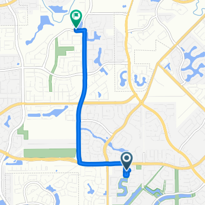
Loreto Costa Lane 22503, Katy to Busalla Trail 22422, Katy
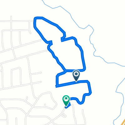
- 3.3 km
- 31 m
- 3 m
- Katy, Texas, United States
A cycling route starting in Katy, Texas, United States.
Overview
created this 5 years ago
Route quality
Road
6.9 km
(86 %)
Quiet road
1.1 km
(14 %)
Continue with Bikemap
You would like to ride Cane Island Neighborhood Loop or customize it for your own trip? Here is what you can do with this Bikemap route:
Free trial for 3 days, or one-time payment. More about Bikemap Premium.
Discover more Premium features.
Get Bikemap PremiumFrom our community
Open it in the app