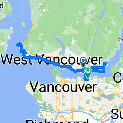
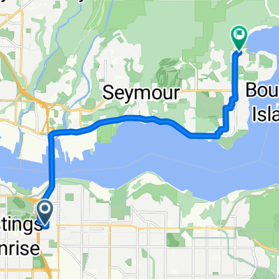
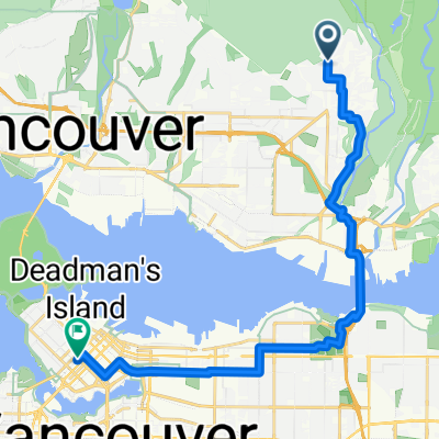
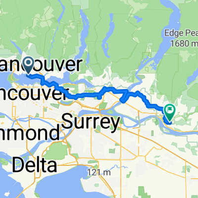
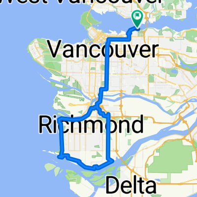
Sreveston
A cycling route starting in North Vancouver, British Columbia, Canada.
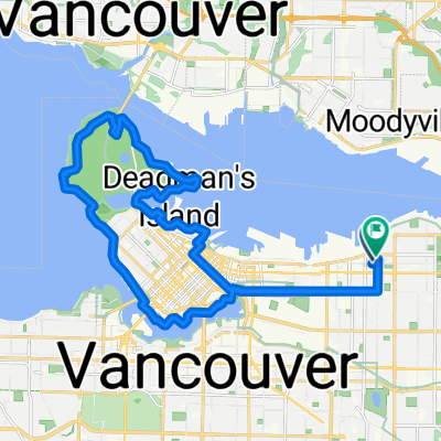
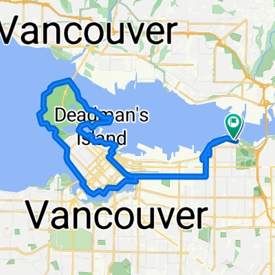
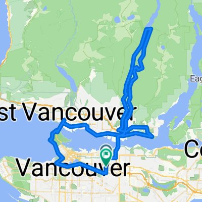
Overview
About this route
- -:--
- Duration
- 75.4 km
- Distance
- 211 m
- Ascent
- 208 m
- Descent
- ---
- Avg. speed
- ---
- Max. altitude
Route quality
Waytypes & surfaces along the route
Waytypes
Cycleway
40.7 km
(54 %)
Quiet road
20.4 km
(27 %)
Surfaces
Paved
54.3 km
(72 %)
Unpaved
16.6 km
(22 %)
Asphalt
45.2 km
(60 %)
Gravel
16.6 km
(22 %)
Continue with Bikemap
Use, edit, or download this cycling route
You would like to ride Sreveston or customize it for your own trip? Here is what you can do with this Bikemap route:
Free features
- Save this route as favorite or in collections
- Copy & plan your own version of this route
- Sync your route with Garmin or Wahoo
Premium features
Free trial for 3 days, or one-time payment. More about Bikemap Premium.
- Navigate this route on iOS & Android
- Export a GPX / KML file of this route
- Create your custom printout (try it for free)
- Download this route for offline navigation
Discover more Premium features.
Get Bikemap PremiumFrom our community
Other popular routes starting in North Vancouver
161 E Sixth St, North Vancouver to 595 Keith Rd, West Vancouver- Distance
- 6.9 km
- Ascent
- 60 m
- Descent
- 92 m
- Location
- North Vancouver, British Columbia, Canada
80k SDF Loop- Distance
- 80.7 km
- Ascent
- 1,359 m
- Descent
- 1,357 m
- Location
- North Vancouver, British Columbia, Canada
N. Van Loop - 56k- Distance
- 56.1 km
- Ascent
- 1,111 m
- Descent
- 1,112 m
- Location
- North Vancouver, British Columbia, Canada
Gravel_Stage-Pitt_Meadows.gpx- Distance
- 99 km
- Ascent
- 881 m
- Descent
- 879 m
- Location
- North Vancouver, British Columbia, Canada
Fromme parking lot to Grouse Mt, North Vancouver- Distance
- 9.1 km
- Ascent
- 688 m
- Descent
- 54 m
- Location
- North Vancouver, British Columbia, Canada
Lillooet Road 2000, North Vancouver to Lillooet Road 2000, North Vancouver- Distance
- 31 km
- Ascent
- 311 m
- Descent
- 272 m
- Location
- North Vancouver, British Columbia, Canada
Loop: 2nd Narrow Bridge (BBY) + Lonsdale Mall (N. Van)- Distance
- 15.7 km
- Ascent
- 159 m
- Descent
- 170 m
- Location
- North Vancouver, British Columbia, Canada
CVG - BMUT - TCT- Distance
- 32.4 km
- Ascent
- 223 m
- Descent
- 226 m
- Location
- North Vancouver, British Columbia, Canada
Open it in the app


