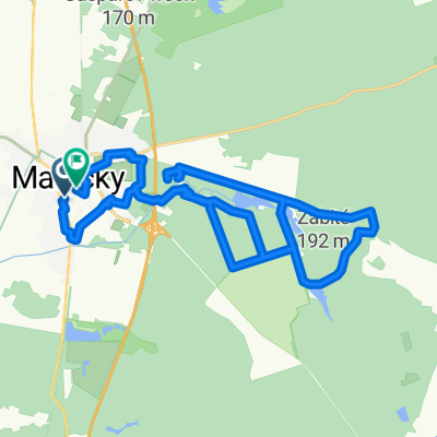
Restful route in Rohožník
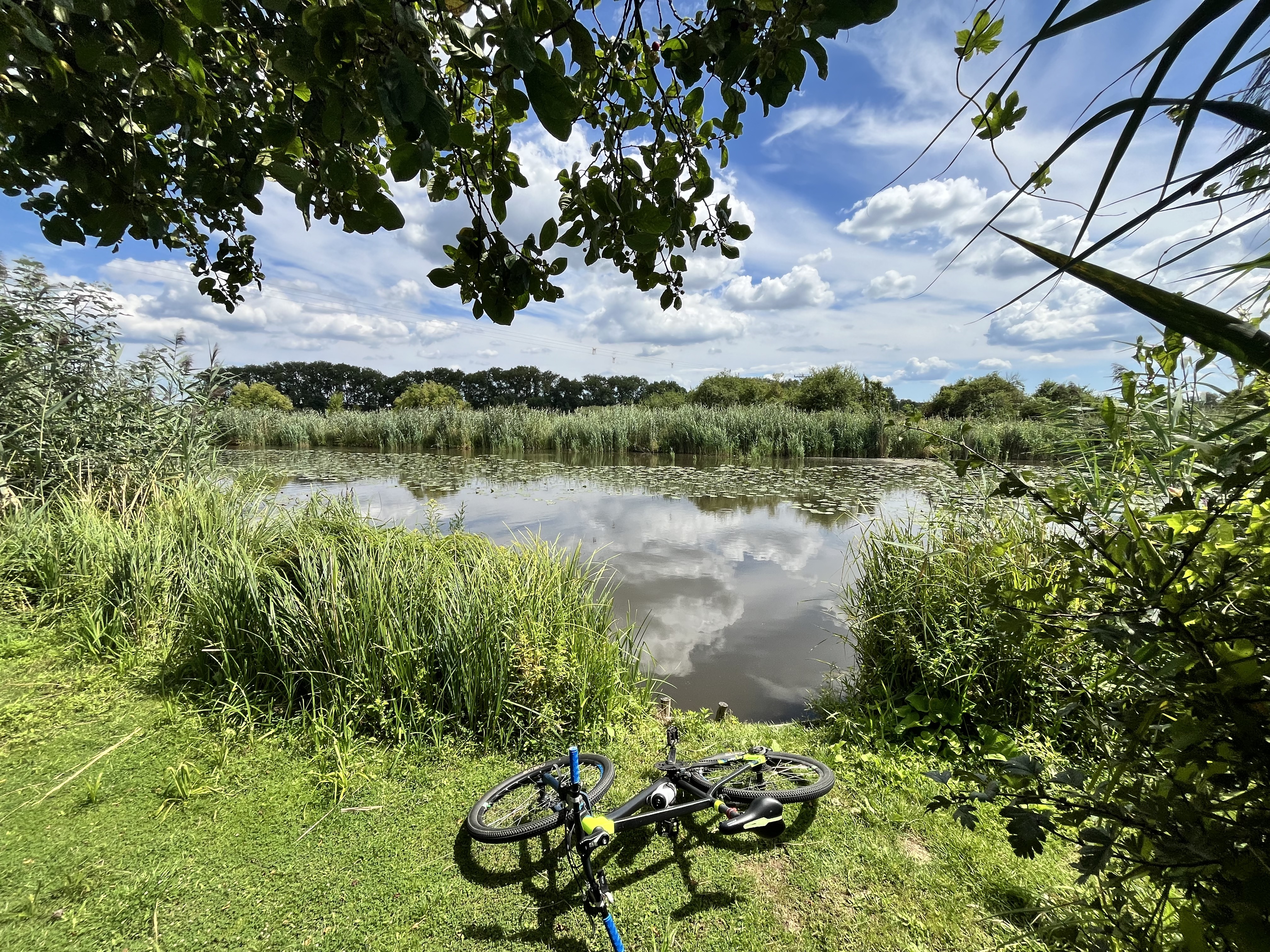
A cycling route starting in Malacky, Bratislava Region, Slovakia.
Overview
About this route
- 2 h 6 min
- Duration
- 30.2 km
- Distance
- 472 m
- Ascent
- 473 m
- Descent
- 14.4 km/h
- Avg. speed
- ---
- Max. altitude
Route quality
Waytypes & surfaces along the route
Waytypes
Track
22.8 km
(76 %)
Quiet road
3.8 km
(13 %)
Surfaces
Paved
13.5 km
(45 %)
Unpaved
14.3 km
(47 %)
Asphalt
12.8 km
(42 %)
Gravel
10.1 km
(33 %)
Continue with Bikemap
Use, edit, or download this cycling route
You would like to ride Restful route in Rohožník or customize it for your own trip? Here is what you can do with this Bikemap route:
Free features
- Save this route as favorite or in collections
- Copy & plan your own version of this route
- Sync your route with Garmin or Wahoo
Premium features
Free trial for 3 days, or one-time payment. More about Bikemap Premium.
- Navigate this route on iOS & Android
- Export a GPX / KML file of this route
- Create your custom printout (try it for free)
- Download this route for offline navigation
Discover more Premium features.
Get Bikemap PremiumFrom our community
Other popular routes starting in Malacky
- Šumava 2008:V.Leváre-Černá v Pošumaví
- Distance
- 322.5 km
- Ascent
- 2,383 m
- Descent
- 1,973 m
- Location
- Malacky, Bratislava Region, Slovakia
- Wien-Hamburg 02/10: Gajary (SVK) - Vrbovec (bei Znojmo) (CZE)
- Distance
- 136.3 km
- Ascent
- 762 m
- Descent
- 697 m
- Location
- Malacky, Bratislava Region, Slovakia
- Záhorácka do Záhorácka
- Distance
- 12.2 km
- Ascent
- 51 m
- Descent
- 103 m
- Location
- Malacky, Bratislava Region, Slovakia
- Kuchyňa - Buková - Pezinská Baba - Kuchyňa
- Distance
- 92.5 km
- Ascent
- 640 m
- Descent
- 639 m
- Location
- Malacky, Bratislava Region, Slovakia
- Sturm tour
- Distance
- 78.1 km
- Ascent
- 110 m
- Descent
- 121 m
- Location
- Malacky, Bratislava Region, Slovakia
- Nedelna siesta v Karpatoch
- Distance
- 65.3 km
- Ascent
- 587 m
- Descent
- 587 m
- Location
- Malacky, Bratislava Region, Slovakia
- vyslap 4 - Rudava back home
- Distance
- 49.9 km
- Ascent
- 179 m
- Descent
- 143 m
- Location
- Malacky, Bratislava Region, Slovakia
- Malacky- Kostolište- Gajary- Suchohrad
- Distance
- 18.8 km
- Ascent
- 29 m
- Descent
- 42 m
- Location
- Malacky, Bratislava Region, Slovakia
Open it in the app