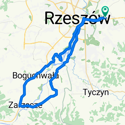
Rzeszow, Zarzecze, Boguchwala, Wislok
- 36.1 km
- 86 m
- 86 m
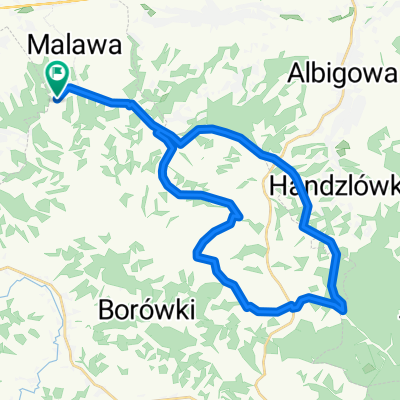
- Krasne, Subcarpathian Voivodeship, Poland
A cycling route starting in Krasne, Subcarpathian Voivodeship, Poland.
Overview
Rzeszów - Korczyna - Rzeszów
on the route the Prządki Reserve and the Kamieniec Castle (Korczyna). Optionally the market in Korczynie
created this 5 years ago
Route quality
Road
72.3 km
(52 %)
Quiet road
32 km
(23 %)
Paved
123.8 km
(89 %)
Unpaved
1.4 km
(1 %)
Asphalt
123.8 km
(89 %)
Ground
1.4 km
(1 %)
Undefined
13.9 km
(10 %)
Continue with Bikemap
You would like to ride Rzeszów - Korczyna - Rzeszów or customize it for your own trip? Here is what you can do with this Bikemap route:
Free trial for 3 days, or one-time payment. More about Bikemap Premium.
Discover more Premium features.
Get Bikemap PremiumFrom our community
Open it in the app