
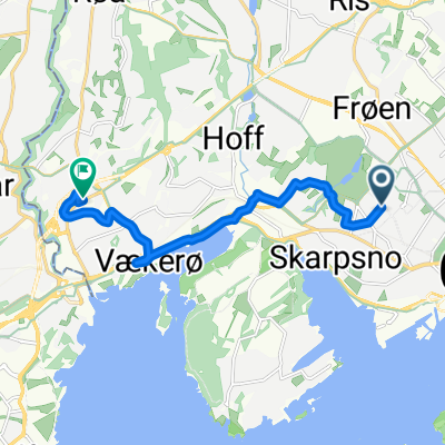
Tidemands gate, Oslo to Ullernchausséen, Oslo
- 7.1 km
- 81 m
- 76 m
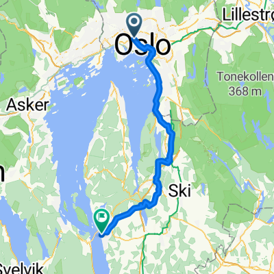
- Sjølyststranda, Oslo County, Norway
A cycling route starting in Sjølyststranda, Oslo County, Norway.
Overview
created this 5 years ago
Route quality
Path
7 km
(42 %)
Quiet road
3.8 km
(23 %)
Paved
0.7 km
(4 %)
Unpaved
15.9 km
(95 %)
Gravel
6.7 km
(40 %)
Unpaved (undefined)
4.8 km
(29 %)
Continue with Bikemap
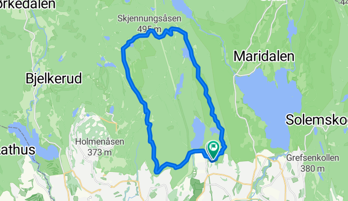
You would like to ride sognsvann-bånntjern-vettakollen-skjennung-ullevålseter-svartkulp or customize it for your own trip? Here is what you can do with this Bikemap route:
Free trial for 3 days, or one-time payment. More about Bikemap Premium.
Discover more Premium features.
Get Bikemap PremiumFrom our community
Open it in the app