

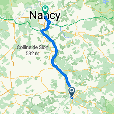
Epinal - Conflandey
A cycling route starting in Chantraine, Grand Est, France.
Overview
About this route
- -:--
- Duration
- 99.5 km
- Distance
- 232 m
- Ascent
- 348 m
- Descent
- ---
- Avg. speed
- ---
- Max. altitude
Route quality
Waytypes & surfaces along the route
Waytypes
Access road
53.7 km
(54 %)
Quiet road
24.9 km
(25 %)
Surfaces
Paved
62.7 km
(63 %)
Asphalt
62.7 km
(63 %)
Undefined
36.8 km
(37 %)
Route highlights
Points of interest along the route

Accommodation after 30.6 km
Le moulin gentrey

Accommodation after 99.4 km
La Saônoise
Continue with Bikemap
Use, edit, or download this cycling route
You would like to ride Epinal - Conflandey or customize it for your own trip? Here is what you can do with this Bikemap route:
Free features
- Save this route as favorite or in collections
- Copy & plan your own version of this route
- Split it into stages to create a multi-day tour
- Sync your route with Garmin or Wahoo
Premium features
Free trial for 3 days, or one-time payment. More about Bikemap Premium.
- Navigate this route on iOS & Android
- Export a GPX / KML file of this route
- Create your custom printout (try it for free)
- Download this route for offline navigation
Discover more Premium features.
Get Bikemap PremiumFrom our community
Other popular routes starting in Chantraine
 Bbis_20juin_short_Le Pays des Abbayes et de la Deodatie-short
- Distance
- 55.7 km
- Ascent
- 456 m
- Descent
- 455 m
- Location
- Chantraine, Grand Est, France
 lundi pâque
- Distance
- 15.6 km
- Ascent
- 521 m
- Descent
- 521 m
- Location
- Chantraine, Grand Est, France
 Bbis_19juin_Mirecourt
- Distance
- 88.1 km
- Ascent
- 638 m
- Descent
- 644 m
- Location
- Chantraine, Grand Est, France
 Tour de France 2010 Etape 6 (fake...)
- Distance
- 177.8 km
- Ascent
- 3,963 m
- Descent
- 3,641 m
- Location
- Chantraine, Grand Est, France
 24/05/2018
- Distance
- 44.7 km
- Ascent
- 505 m
- Descent
- 505 m
- Location
- Chantraine, Grand Est, France
 mosel17-2
- Distance
- 77.4 km
- Ascent
- 66 m
- Descent
- 202 m
- Location
- Chantraine, Grand Est, France
 Tag 3: Epinal - Nancy
- Distance
- 79.5 km
- Ascent
- 202 m
- Descent
- 314 m
- Location
- Chantraine, Grand Est, France
 140726, 5. Etappe, Epinal-Bussang
- Distance
- 63.2 km
- Ascent
- 358 m
- Descent
- 89 m
- Location
- Chantraine, Grand Est, France
Open it in the app